

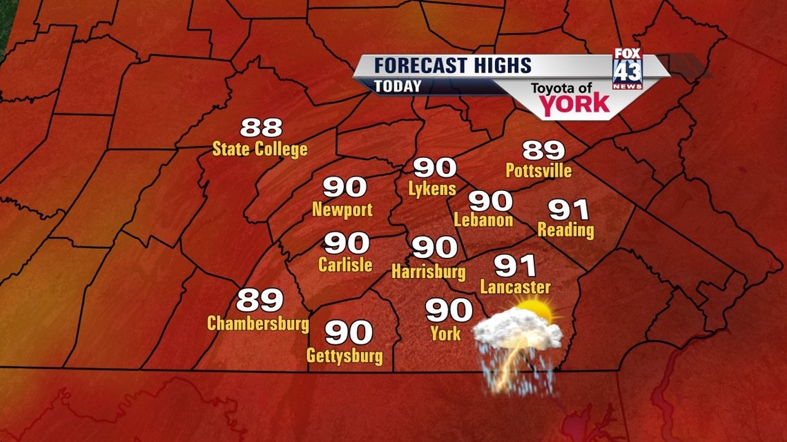
A REPEAT OF YESTERDAY

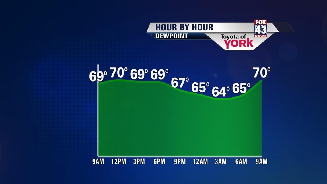
Another hot and humid day is expected across the Lower Susquehanna Valley Tuesday. High pressure continues to have a hold, pumping in hot and humid air from the southwest. Expect temperatures to reach 90 degrees today for many locations. We are also looking at the potential for thunderstorm development again in the afternoon. Any storms that form have the potential to be on the stronger side and also produce locally heavy downpours. An isolated severe storm is not out of the question. More warm and soupy conditions prevail through the overnight period. Low temperatures reach the upper 60s to lower 70s.
HOTTEST DAY TO COME
Wednesday, it’s more of the same with the heat and the humidity. It’s our hottest day this week, with highs in the lower 90s for most. There’s still an isolated thunderstorm chance during the afternoon. By Thursday, our next weather system approaches. It brings a more widespread chance for showers and thunderstorms during the afternoon. Because of this, highs are in the middle 80s.
STAYING UNSETTLED INTO THE WEEKEND
All indication is that this storm system gets hung up over the region into the weekend, keeping showers and thunderstorms in the forecast. Friday is a mostly cloudy and muggy day with scattered showers and thunderstorms. Saturday a little more sun may peek out, otherwise still expect some scattered showers and rumbles. Sunday and Monday, the activity diminishes a bit, but there still could be a few showers. Highs are in the lower to middle 80s through next Monday.
Have a great Tuesday!
-Andrea Michaels