

ANOTHER ROUND OF STORMS


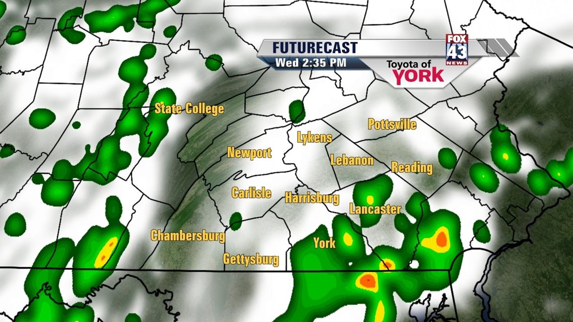
More showers and thunderstorms are on the way Wednesday courtesy of a series of disturbances out west. With the warmth and the humidity expected to continue, some strong to severe storms are possible again. The Storm Prediction Center has us in the “Slight Risk” category for severe weather. Expect damaging winds, hail, frequent lightning, and heavy downpours from any storm that turns severe. Highs are very dependent on dry time, and they will range from the middle 80s to near 90 degrees. The activity should quiet down by the evening hours, leading way to a partly clear overnight period. Lows dip into the upper 60s to lower 70s.
OUR NEXT WEATHER SYSTEM
By Thursday, an area of low pressure slowly moves through the region. It’s mainly cloudy and dry for the first part of the day. Expect a more widespread chance for showers and thunderstorms during the afternoon. Locally heavy downpours are likely, last into the evening. High temperatures reach the middle 80s.
STAYING UNSETTLED INTO THE WEEKEND
All indication is that this storm system gets hung up over the region into the weekend, keeping showers and thunderstorms in the forecast. Friday is a mostly cloudy and muggy day with scattered showers and thunderstorms. Saturday a little more sun may peek out, otherwise still expect some scattered showers and rumbles. Sunday through Tuesday, the activity diminishes a bit, but there still could be a few showers. Highs are in the lower to middle 80s through next Tuesday.
Have a great Wednesday!
-Andrea Michaels