

DRYING OUT AND COOLING OFF
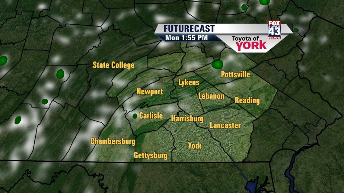
As a cold front continues to clear the region, expect the chance for a few showers through the evening hours. Otherwise it’s mainly dry with partly to mostly clear skies. Once the front clears the region, dewpoint temperatures and air temperatures begin to drop quickly. So expect less humidity and cooler low temperatures through the overnight period. Lows reach the upper 50s to lower 60s. Some patchy fog develops close to daybreak.
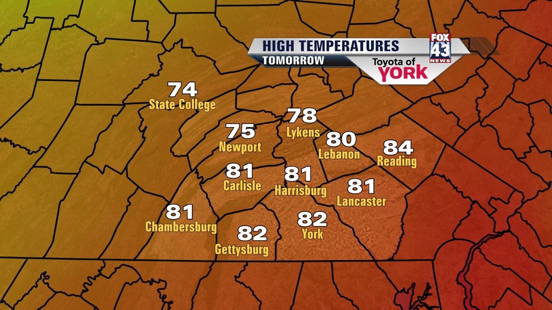
SUNNY START TO THE WEEK

An upper level area of low pressure hangs just to our north on Monday. It’s far away enough to keep us dry and to keep the brunt of the clouds out of the region. Partly cloudy skies are expected. The humidity levels remain low, so comfortable air stays in place. Temperatures remain below seasonable averages for the end of July. Highs only reach the upper 70s to lower 80s. Overall, it’s a pleasant way to begin the new workweek!. Tuesday features more by way of sunshine, with high temperatures reaching the lower 80s area wide.
SLIGHT WARMING COMING
Our next system approaches Wednesday, but most of the day should be dry. Clouds increase, and there is the chance for a couple late day showers and thunderstorms. Most should remain dry, however. Highs are back to seasonable averages in the middle 80s. Thursday looks quite damp as the system crosses the region. The extra shower coverage cools temperatures back into the upper 70s to lower 80s. Friday dries out with plenty of sunshine. Temperatures warm into the middle 80s, and even reach the upper 80s on Saturday. There will be a chance for thunderstorms though come Saturday, and it looks like another cool down for Sunday with more sunshine.
Have a great week!
-Andrea Michaels