
ANOTHER COMFY NIGHT AHEAD
High pressure building in nicely and is providing a beautiful day. Feeling quite nice with dewpoints in the low 50s. Highs running below average warming only into the upper 70s. They will fall back into the upper 60s to low 70s under clearing skies.

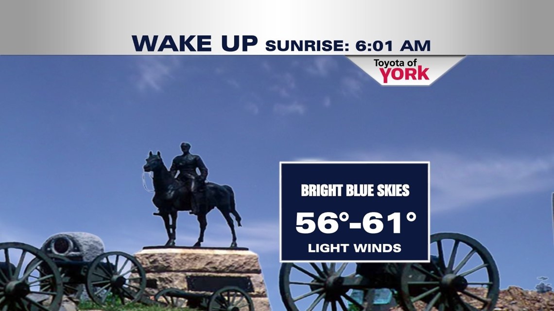
TERRIFIC TUESDAY
We’ll enjoy another great day with plenty of sunshine. Highs will be a bit warmer into the low 80s after starting in the upper 50s to low 60s. Clouds will roll in later in the day but still looking at a wonderful day.

NEXT STORM SYSTEM
We won’t see as much sunshine Wednesday because of an increase in clouds as models indicate a disturbance ahead of the next frontal system. Some question on whether we’ll see isolated showers or storms. I think most will stay dry but can’t rule out something stray popping up late in the day towards evening. A better chance for showers and storms Thursday, the first day of August, as a cold front arrives, keeping temperatures from warming to much from the upper 70s to near 80 degrees. It clears the area by Friday morning. Clouds will hang around a bit Friday but highs should recover into the low 80s.
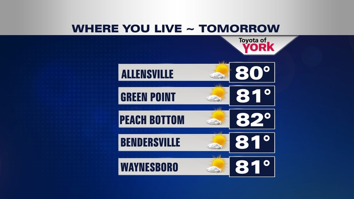
LOOKING AHEAD NEXT WEEKEND
Some differences on the model data but there could be a front coming in late Saturday. It looks pretty weak but I have kept a chance in the forecast for a few showers and storms to develop late in the day towards evening. There should be plenty of dry hours to start the weekend so don’t cancel plans. Sunday looks like a nice day with mostly sunny skies and highs in the low 80s.
Enjoy your night!
MaryEllen Pann, Chief Meteorologist
Like me on Facebook: maryellenpannfox43
Follow me on Twitter: @MaryEllenFox43