

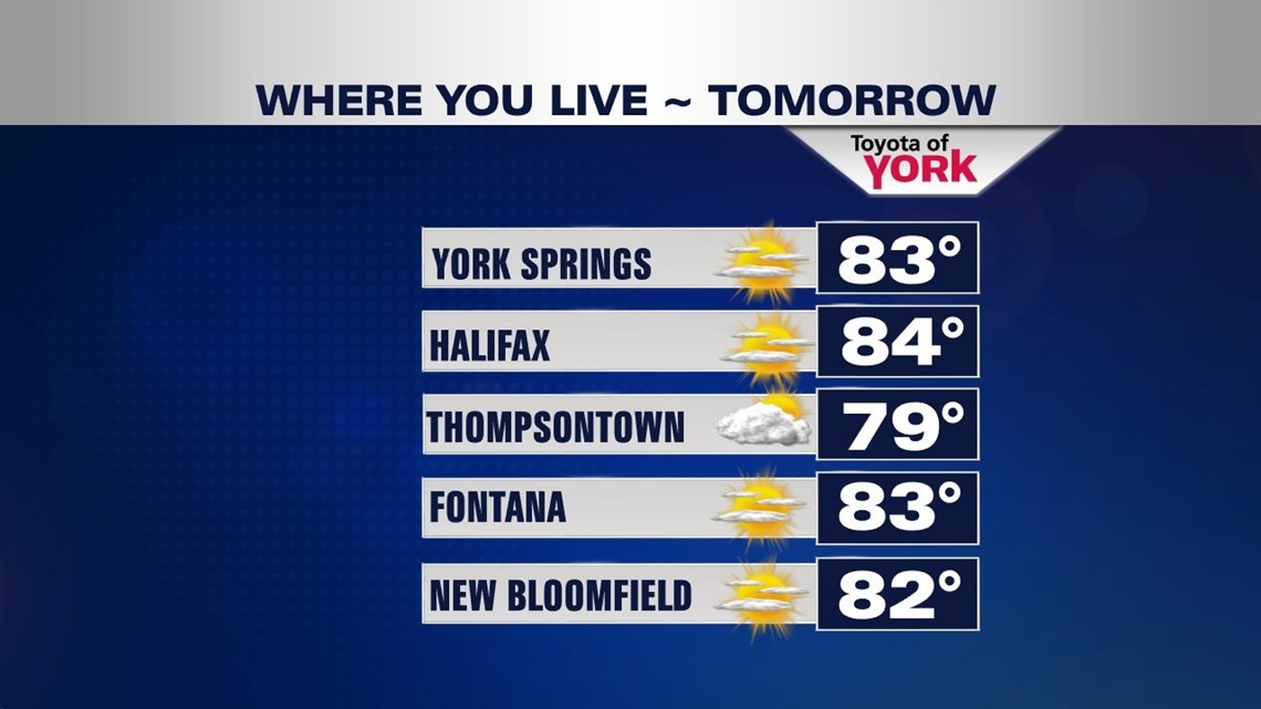
DRYING OUT FRIDAY

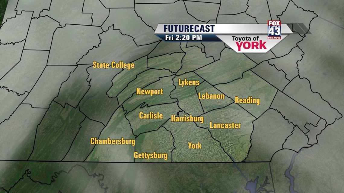
A cold front continues to cross the state this afternoon, bringing spotty showers and thunderstorms. During the late day and evening hours, the pockets of heavy rain exit the region, leaving partly clear skies behind. Some patchy fog develops late. Lows fall into the lower to middle 60s. High pressure is briefly in control of our weather Friday. Expect a mixture of sunshine and some clouds with highs in the lower 80s.
50/50 WEEKEND
The weekend features a wet day and a dry day. We begin wet on Saturday with the passage of the next cold front. Showers and thunderstorms are likely, but some sun will try to work in at times too. Highs are near 80 degrees. Sunday dries out, and partial sunshine returns. Highs are near 80 degrees once again.
BELOW AVERAGE TEMPS STAY
A cooler air mass slides in Sunday night into Monday. Despite plenty of sunshine, highs only reach the upper 70s on Monday. It’s a comfortable and cool day. Through midweek, a chance for showers and thunderstorms return. Though it’s unsettled, temperatures are expected to moderate a bit. Highs reach the lower 80s to perhaps middle 80s by Thursday.
Have a great Thursday!
-Andrea Michaels