
…A Flash Flood Watch is in effect for portions of our area until 1PM today for the potential of a few hours of heavy, flooding rain…
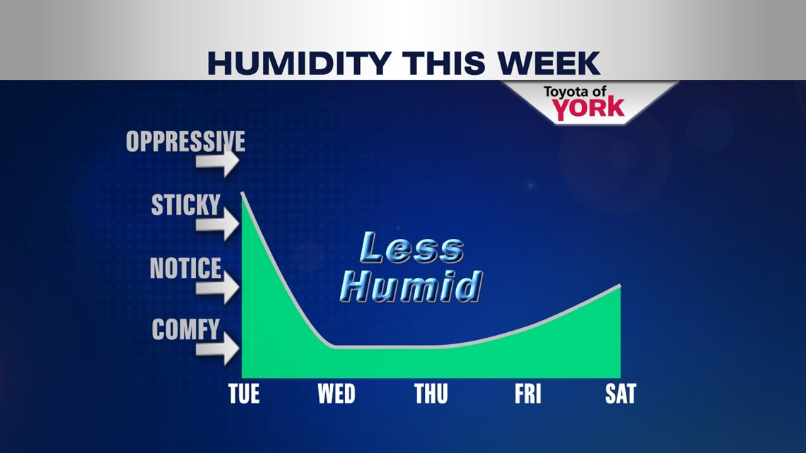
HEAVY EARLY: The cold front arrives today, but before we get in on the cooler and less humid air, we have to deal with rain. Heavy rain moves through during the early to mid morning hours today. Watch for ponding on roads and localized flooding where downpours are heaviest. Rain will taper around midday with scattered showers and storms possible later in the day as the front passes. By the evening hours, we should be seeing our last storms roll through. Highs today will hit the low 80s under mainly cloudy skies and muggy conditions.


COOL DOWN: Not only do we cool off; we dump the humidity and add the sunshine back to the forecast. Expect a breezy start to your Wednesday with plenty of sun and highs in the middle 70s. Thursday and Friday will be generally sunny and dry too with highs in the upper 70s to near 80°. It’s a great few days to get outdoors!

WEEKEND +1: We’ll slowly return to warmer and slightly more humid air during the weekend. Expect partly cloudy skies and highs in the low 80s. Saturday looks dry, but Sunday we may need to watch a chance for showers. The same forecast hold for Monday, with added clouds.
Happy Tuesday! Make it a good one!
“The secret of joy in work is contained in one word – excellence. To know how to do something well is to enjoy it.” – Pearl Buck
– Jeff Jumper, WPMT Fox43 Morning Meteorologist
Follow me on Twitter: @JeffJumperWX
Like me on Facebook: Jeff Jumper Fox43