

MORE CLOUDS, LESS SUN
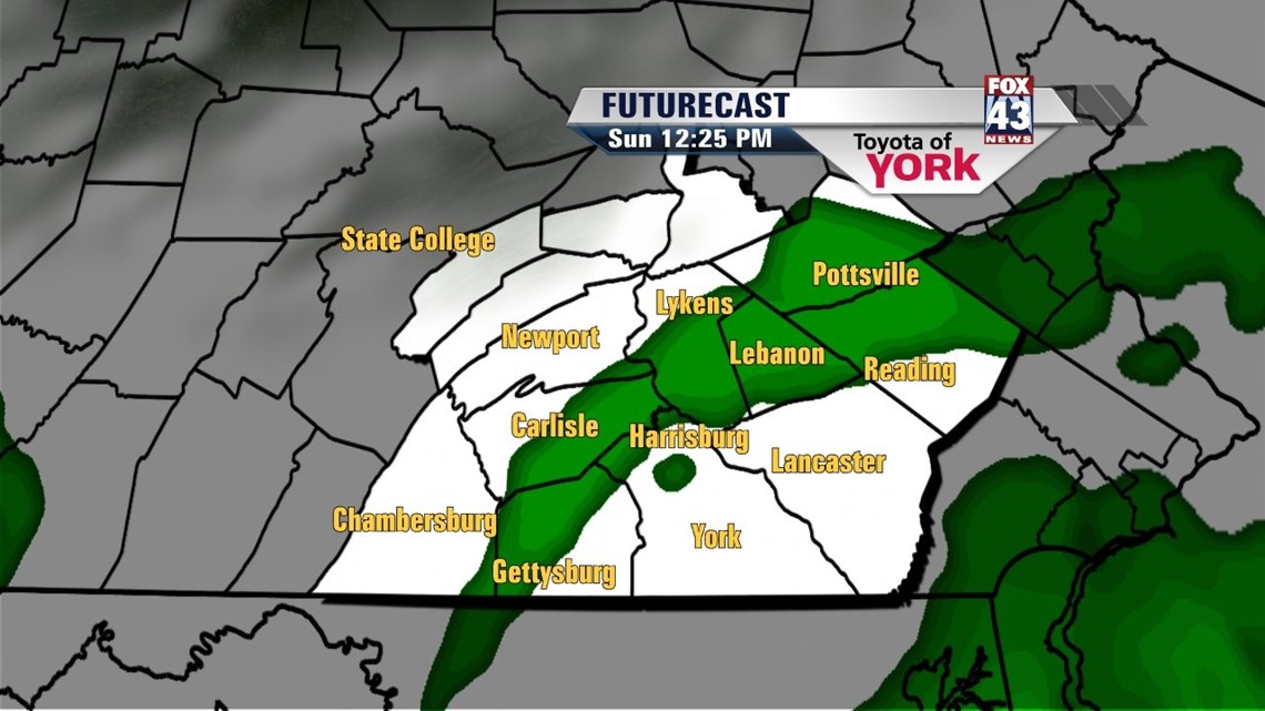
Clouds continue to gradually move in from the south this afternoon, and this continues through the evening hours and overnight period. This is due to a combination of moisture streaming in from the south and an east/southeasterly flow that is taking hold across the Lower Susquehanna Valley. Lows fall into the upper 50s to lower 60s across the area. Sunday a chance for some showers enters the picture. Skies remain mostly cloudy. The abundance of clouds and a continued moist flow should be enough to keep highs stuck in the 70s. Monday expect a continued shower chance. Highs are near 80 degrees, which is still below seasonable averages for this time in August.
WARMING UP
Tuesday the shower threat tapers. High pressure builds into the area, this time bringing a much warmer flow into the Lower Susquehanna River Valley. This persists through Friday. Temperatures begin in the middle 80s Tuesday, and then rise into the upper 80s Wednesday through Friday. It’s the return of summer many of us have been waiting for! There will be a chance for thunderstorms Friday with an approaching cold front, but the entire midweek looks mainly dry. Saturday, temperatures are cooled down by the front to seasonable averages in the middle 80s. A thunderstorm chance could linger.
Enjoy the rest of your weekend!
-Andrea Michaels