
It is an unseasonably hot and humid evening enhanced by a strong area of high pressure off the Mid-Atlantic Coast. The heat and humidity continues through Thursday before a cold front brings a return to much cooler conditions which will swing our temperatures below normal.
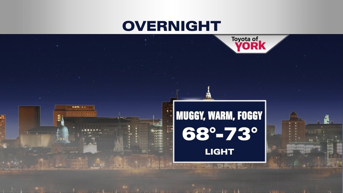
Muggy, warm with hazy conditions tonight with lows well above average in the upper 60s to low 70s.

TWO MORE DAYS OF SUMMER LIKE HEAT
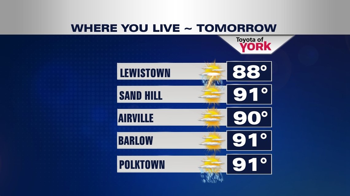
Tomorrow the dome of heat and humidity continues to blanket the area making it another hot one. Highs could reach or exceed 90 degrees in many locations. Showers and storms may bubble up in the afternoon. It will be another warm and muggy night Wednesday night with lows hovering around 70 degrees. Thursday a cold front comes in and brings a better chance for scattered showers and storms. Highs will still be above average in the mid 80s.

A TASTE OF FALL IN TIME FOR THE WEEKEND
Friday we may start with some clouds and with high pressure building in as well as a deep trough digging to our south, temperatures will take a big swing downward and well below average.
Jetstream dives south of the area towards the end of the week and stays there into the weekend allowing for cooler air to spill in from the north-northwest. We’ll experience cool nights in the 40s with highs maybe stuck in the 60s Saturday despite full of sunshine. It will be warmer by Sunday with highs in the mid 70s under mostly sunny skies.
Stay cool!
MaryEllen Pann, Chief Meteorologist
Like me on Facebook: maryellenpannfox43
Follow me on Twitter: @MaryEllenFox43