

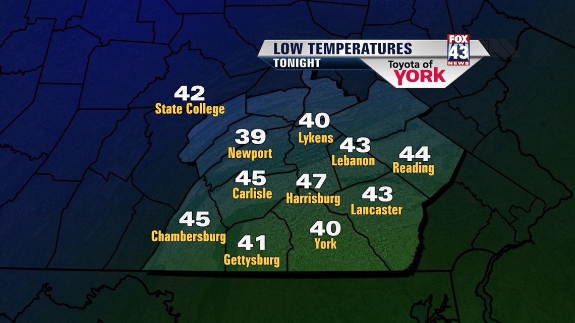
COOL START

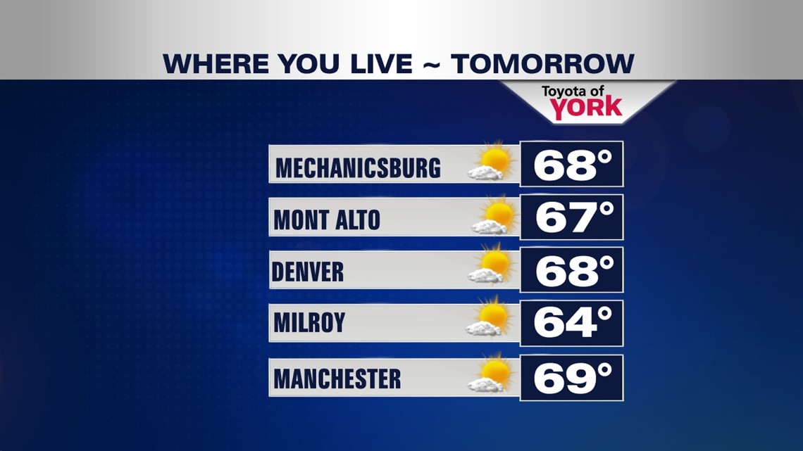
High pressure to our north has cooled temperatures across the region, and there will be more cool air as we begin the new workweek. The clouds of the day quickly crumble through the early evening hours, leaving clear skies behind. Those clear skies allow temperatures to quickly tumble through the night. Lows fall into the lower to middle 40s. It stays cool on Monday. The sunshine increases, but high temperatures are still stuck in the 60s. Expect another chilly one overnight Monday. Low are in the 40s once again, with some locations to our far north and northwest likely dipping into the upper 30s.
SLOWLY WARMING
High pressure remains in control across the region into Tuesday and Wednesday. Expect plenty of sunshine, with highs back into the 70s both days. Temperatures begin in the lower 70s Tuesday and warm into the middle 70s on Wednesday.
STAYING DRY
High pressure remains in control of the weather through the end of next week. Thursday, some extra clouds are possible, but they quickly head out by Friday. Mostly sunny skies are back, and this lasts into Saturday. Temperatures hover near or just a bit above average, in the middle 70s. Sunday clouds increase with the approach of our next cold front.
Have a great week!
-Andrea Michaels