
DRY STRETCH CONTINUES: You know something is up when a cold front can’t even make it through the state without rain and cooler air, especially in the fall! Today, we’re ahead of the front, but its energy source is racing northbound allowing the front to lose its weak punch. A foggy start in spots should give way to a partly cloudy day ahead with intervals of sunshine. Highs will settle into the middle 70s. Tonight, we drop to the middle 50s.
The front shifts east Tuesday, with a few clouds in the picture. The models hint at one or two spots seeing a shower bubble with the warm air in place. We can’t rule it out but I feel like 95% of us stay dry for sure. Highs hit the upper 70s.
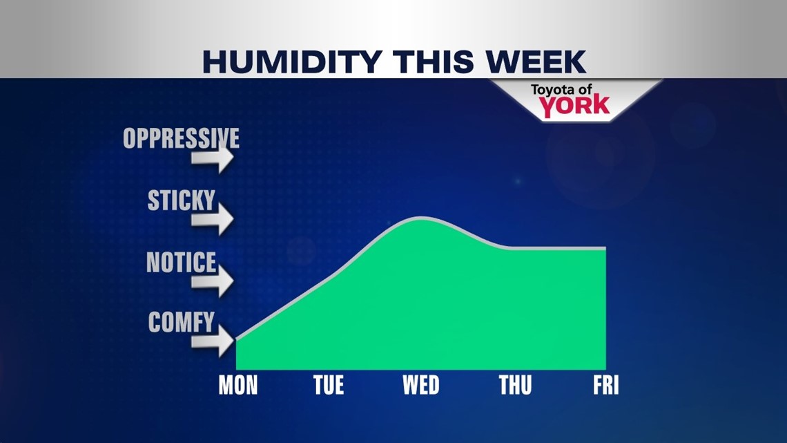
SUMMERY AIR: High pressure to our south builds back in place of the dying cold front. This will bring a few more days of upper 70s to near 80° temperatures. We’ll see an uptick in the humidity too, but we stay dry through Thursday with plenty of sunshine. Friday, a weak warm front glides north which will cloud us up a bit. For now, we’ll keep it dry.

WEEKEND FRONT: Finally, a more significant front arrives for the weekend. The timing still needs to be hammered out, but it looks like we’re leaning toward a dry Saturday with a wetter Sunday. We’re warm ahead of the front with temperatures holding in the upper 70s. Once the front passes, we’ll cool down nicely to more seasonal averages for next week.
Have a spectacular Monday!
“I have never in my life learned anything from any man who agreed with me.” – Dudley Field Malone
– Jeff Jumper, WPMT Fox43 Morning Meteorologist
Follow me on Twitter: @JeffJumperWX
Like me on Facebook: Jeff Jumper Fox43