
TGIF!
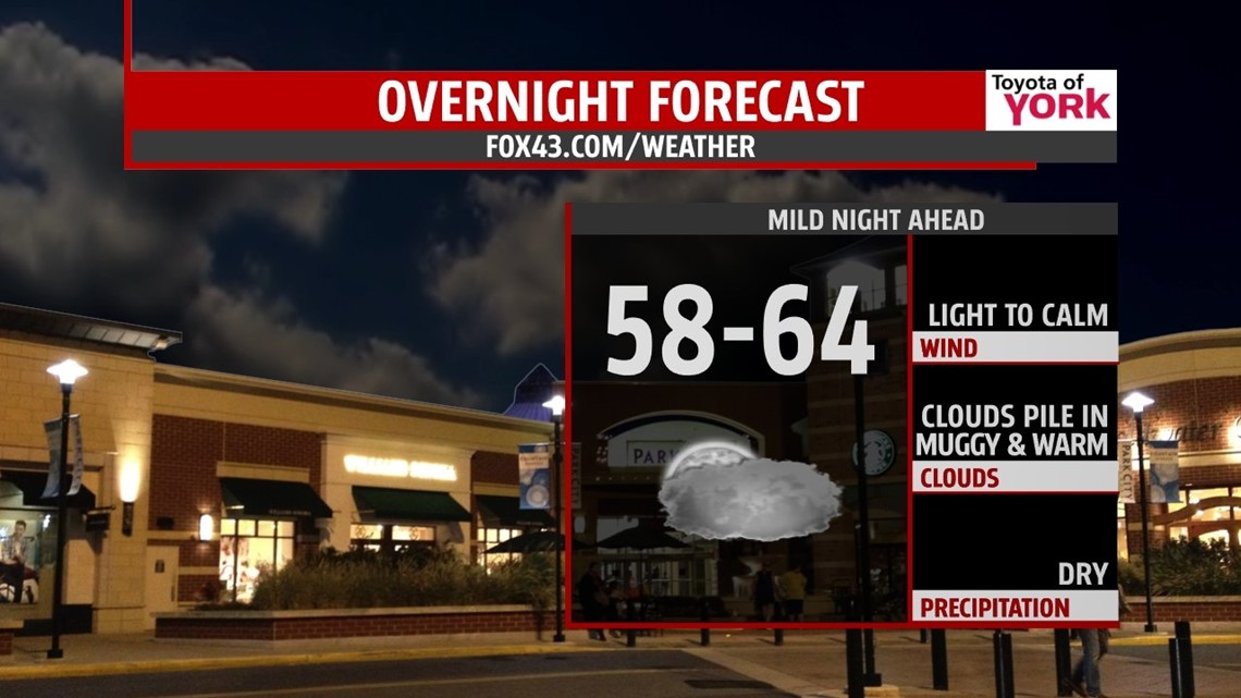
Boy is it feeling like summer! Dewpoints this evening are in the upper 50s to low 60s. A mild, muggy night is ahead under mostly cloudy skies. Lows will be well above average in the low 60s.

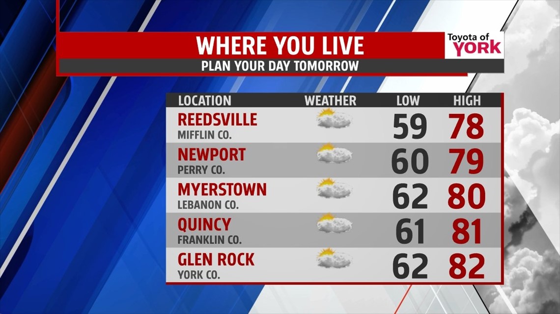
A warm front will push northward early Friday keeping the clouds around for the start of the day. There may be an isolated shower or thunderstorm pop up with the higher humidity, warm temperatures and front nearby to trigger something. Highs will once again break 80 degrees with some areas getting to the lower 80s. Clouds will be clearing towards evening and overnight. Lows again expected to be well above average in the upper 50s to low 60s.

WEEKEND WARMTH
More sunshine will mix with a few clouds for the weekend. With a persistent southwest flow, temperatures will be very warm in the low to mid 80s both Saturday and Sunday! Our summer heat does come to an end as a cold front arrives Monday. It may bring some tropical moisture and boy do we need some rain.
BEST RAIN CHANCE
Models are picking up on some tropical moisture; from what is now Tropical Storm Karen that gets picked up by a cold front Monday. There are still some discrepancies on where the front picks up the moisture and whether it makes into PA. It would certainly help with our departure from normal and will keep you posted in the next few days.
Next week we see temperatures return closer to normal as the cool down to the upper 60s to low 70s.
In the mean time, enjoy the summer heat while it last!
MaryEllen Pann, Chief Meteorologist
Like me on Facebook: maryellenpannfox43
Follow me on Twitter: @MaryEllenFox43