

SUMMER-LIKE FEEL CONTINUES


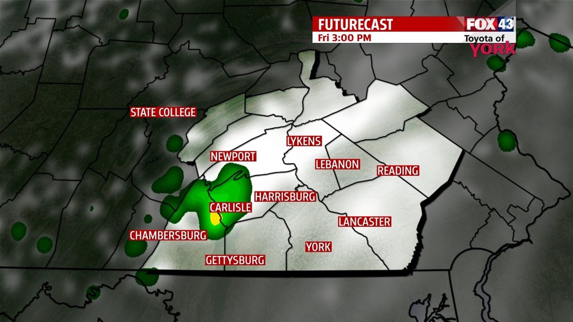
It’s another foggy start across the Lower Susquehanna River Valley, with mild temperatures too. It will take a few hours after sunrise to burn off the fog, and then there will be some sunshine through the morning. However, a warm front still draped across the region sends clouds our way from the west. It could also trigger a stray shower or storm throughout the day, mainly for the west and northwestern parts of the region. Not everyone sees it, and many stay dry. Highs are back into the lower 80s yet again for most of the area. Tonight, expect variable cloud cover. Lows continue to stay mild, hovering in the lower to middle 60s.
MORE OF THE SAME FOR WEEKEND
Another cold front will be slowly approaching from the west through the weekend. In the meantime, this means we can expect little change. Saturday looks to be the warmest day with a mixture of sunshine and clouds. Highs reach the lower to middle 80s. Sunday the clouds thicken up as the next cold front continues to inch closer. There is the chance for a late day shower, but the precipitation mainly holds off until Sunday night through Monday. Highs are a little cooler with the added clouds, but most should make the lower 80s.
RAIN, RAIN, COME OUR WAY!
The next chance for rainfall comes when the cold front finally pushes through Monday, possibly lasting into Tuesday. Models are still projecting Tropical Storm Karen to be pulled in with the front, and this keeps the shower chance through Tuesday morning. More moisture is not a bad thing though, with how dry it’s been over the last several weeks! High temperatures fall back to near 70 and stay seasonable Wednesday and Thursday.
Have a great Friday!
-Andrea Michaels