


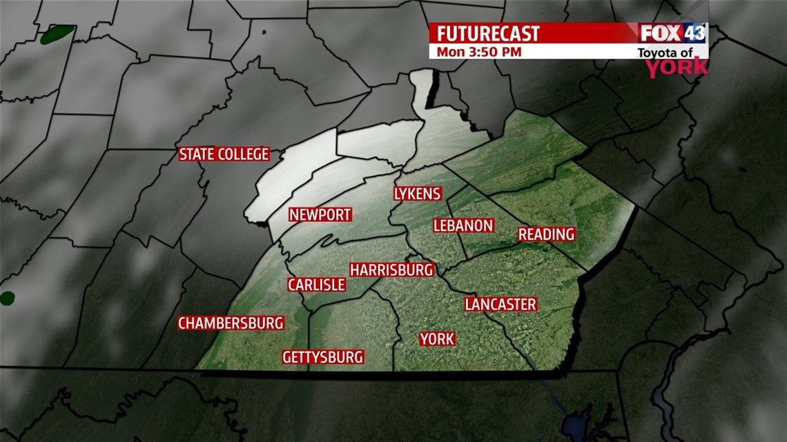
MILD AND DRY

Skies have cleared out for many this evening, but some clouds are still going to hang around, especially west through the rest of the night. This is because a cold front is slowly approaching from the west. So expect calm conditions through the night and mostly clear skies. Temperatures fall into the upper 40s to lower 50s, and are expected to be coolest where skies are clearest. Clouds increase a bit Monday as the weak cold front slowly slides east. It’s a mild and comfy day, with highs near 70 degrees. Tuesday brings partly cloudy skies and more mild temperatures, with highs in the upper 60s to lower 70s.
UNSETTLED AGAIN
The weather quickly turns unsettled once again through the middle to end of the week. Another cold front slowly approaches from the west, increasing clouds Wednesday. A late day shower is possible, but it looks to be a mainly dry day. Thursday brings a better chance for showers late in the day. Highs are in the upper 60s to near 70 degrees.
COOLING DOWN
A couple showers could linger into Friday morning, but it’s dry by the afternoon. The weekend brings a mixture of clouds and sunshine, with cooler air rushing in. Temperatures begin in the middle 60s Friday, and then they drop into the middle to upper 50s by Sunday. Agriculture interests should keep an eye on the forecast for the beginning of the following week, because it could be the first widespread frost many see, if trends for chillier air continues! Stay tuned!
Enjoy the rest of your weekend!
-Andrea Michaels