
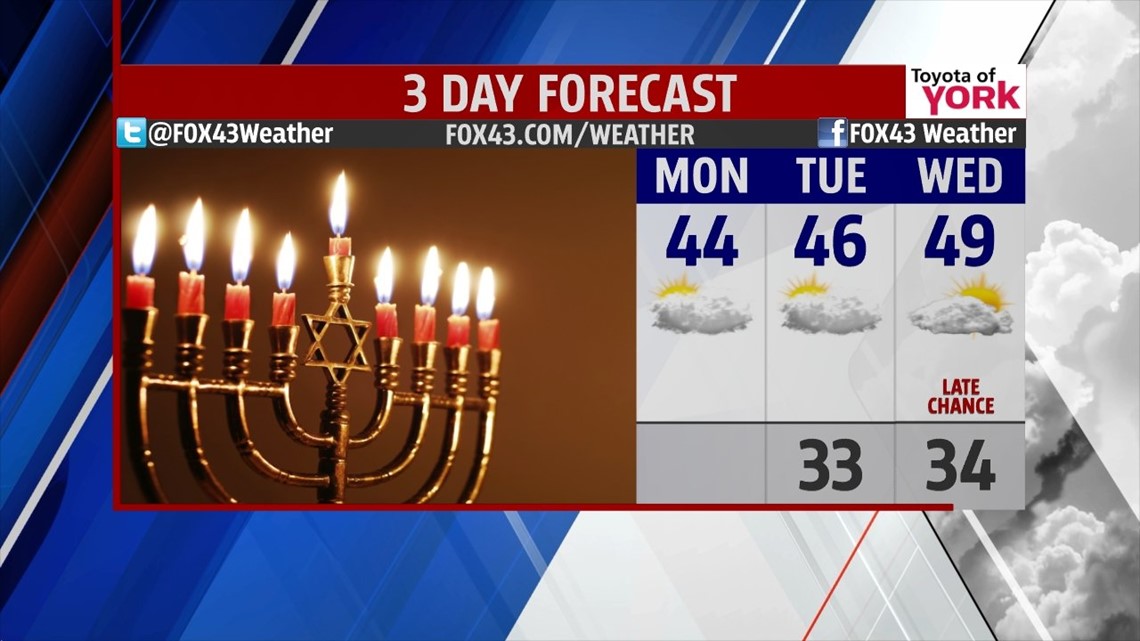
KEEPING OUR COOL: We’re into the first week of December and the cool trend from the weekend continues. We reside on the edge of a cool pocket of air that is not allowing the warmth just to our south to nudge into the state. Today, we start with some early morning drizzle. We’re mostly cloudy for the day and we’re banking on temps at least getting to the mid 40s. Warmest air resides to the south. Tonight, we drop to the low 30s with some showers or drizzle riding through. Tuesday will be mainly cloudy too with highs nudging closer to averages, in the middle 40s.

MID-WEEK: A series of weak, fast moving disturbances aloft will set up several shots of wet weather for us. Beginning late Wednesday we may see a quick shot at some showers. Then Thursday showers are looking likely later in the day again. Friday looks like the wettest day, with the rain tapering by about daybreak Saturday. We’re generally cloudy this entire time, with temps near 50° on Wednesday and Thursday, and dropping to the middle 40s for Friday.
WEEKEND: For now, Saturday and Sunday look dry; however, with such an active pattern things are likely to change as we move toward the end of the week. The next shot at seeing precip comes after dark Sunday into Monday. We’ll keep watching. Highs this weekend are in the upper 30s to near 40°.
Make it a marvelous Monday!
“A day wasted on others is not wasted on one’s self.” – Charles Dickens
– Jeff Jumper, WPMT FOX43 Morning Meteorologist
Follow me on Twitter: @JeffJumperWX
Like me on Facebook: Jeff Jumper FOX43