

UNSETTLED EVENING
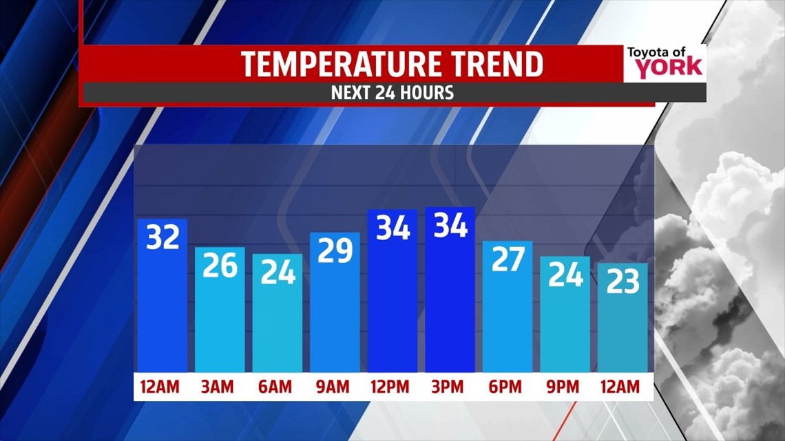
A batch of rain and rain showers will continue to push east through the evening hours. As temperatures quickly cool, some wet flakes begin to mix in before ultimately ending as snow showers in spots. Since temperatures were so mild today, the thinking remains that the roads won’t get cold enough for any accumulations. Don’t rule them out on grassy and colder surfaces though! Nothing to a half of an inch should cover it across the region before the area dries out by 1 A.M. Expect wet spots to turn icy overnight as temperatures fall into the 20s by daybreak. Skies quickly clear out too after midnight.
THE COLD IS BACK

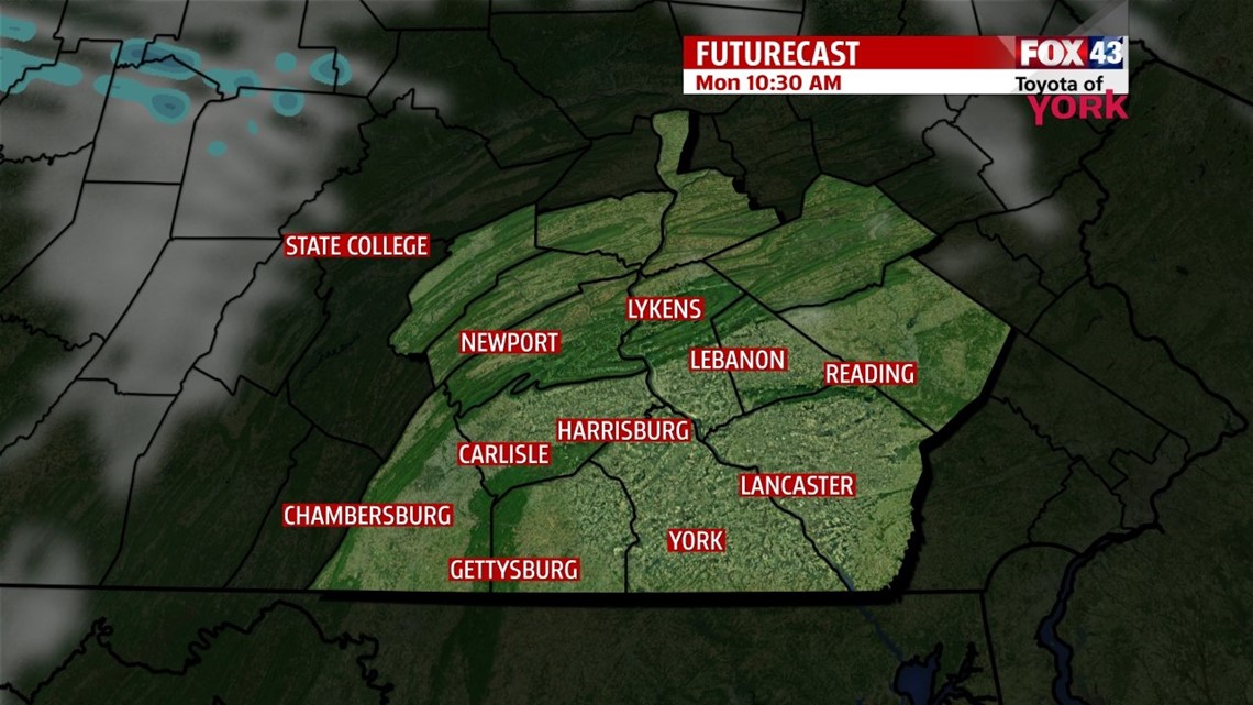
The cold, winter air returns Monday, dropping high temperatures into the 30s despite plenty of sunshine. Models continue to hint at light snow showers for Tuesday and Wednesday from two separate systems. Each system looks less threatening with each of the many computer models. If we do see accumulations, it should be minor to nothing. The cold remains with highs near or just above the freezing mark.
MORE OF THE SAME
The cold wave continues to hold temperatures in the 20s to near 30 on Thursday and Friday. There’s sunshine for Thursday, but Friday clouds increase through the day. Today’s long range models are bring snow chances back into the picture Saturday, but keeping things on the light side. It will likely take until the middle to latter part of the week for the computer models to get a better handle on this one, so we’ll continue closely keep an eye on it to see if anything comes of it! It’s February, and the normally active pattern of the month usually behaves this way with systems. Sometimes they fade, but other times there’s a hit.
Have a great week!
-Andrea Michaels