

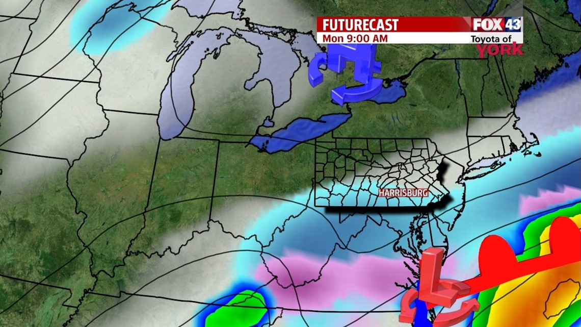
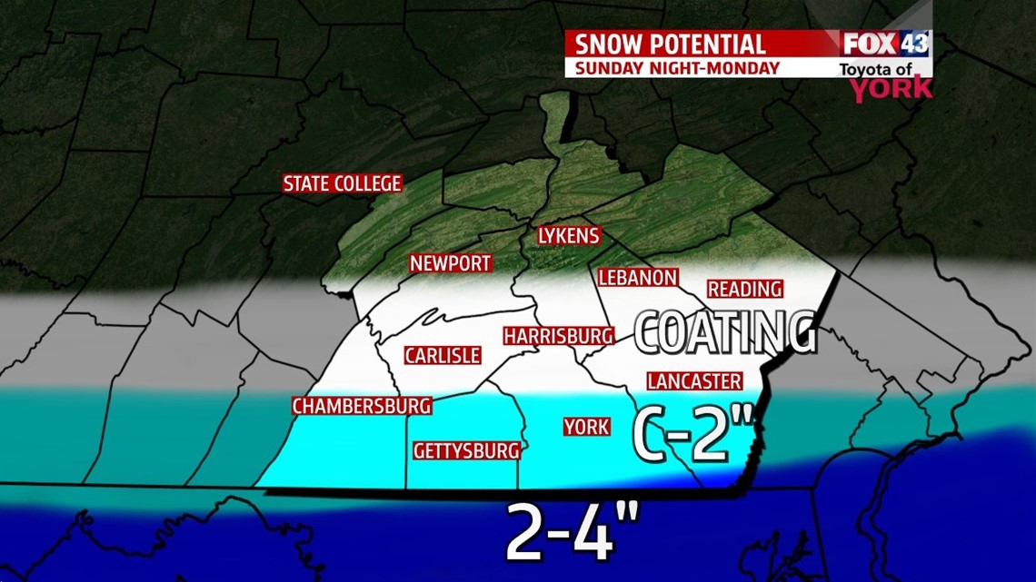
LIGHT SNOW SUNDAY NIGHT

Clouds have increased ahead of our next storm system, expected to track to our south. Given the projected track, it looks to barely brush the region with light snow, mainly along our southern parts. Flurries and pockets of light snow overspread through the evening, and last through the overnight. Areas along the turnpike see flakes to a coating at best, along the turnpike and south to the state border sees a coating to two inches. A few locally heavier amounts are possible closest to the border in those locations that normally see it. The system exits by Monday afternoon, with increasing sunshine. Afternoon highs reach the lower 30s.
NEXT SYSTEM
More by way of sunshine is expected for Tuesday with milder temperatures too. Highs reach the lower 40s. Our next system arrives Tuesday night into Wednesday bringing the chance for rain showers during the afternoon. It could start off briefly as a wintry mix in the morning before temperatures quickly warm. Highs reach the 40s once again.
MILD ARRIVAL FOR SPRING!
Spring arrives Thursday, and it will feel like it! There’s plenty of sunshine with highs near 50 degrees. Temperatures remain in the 50s Friday, but clouds begin to increase. Another system brings a chance for showers on Saturday. Skies dry out and clear by Sunday. It’s a cooler day though, with highs in the 40s.
Have a great week!
-Andrea Michaels