
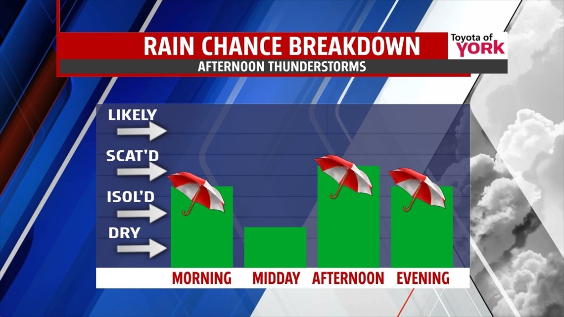
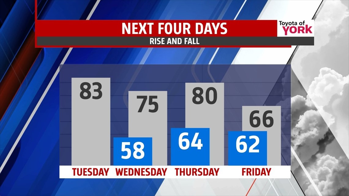
BACK DOOR FRONT: What are we talking about here? We’ll traditionally, our cold fronts move in somewhat of a west to east direction. This time, one is moving in from the northeast. This will bring added clouds and the chance for showers and thunderstorms today. We should still touch the middle 80s for highs today, before cooler air slips in for Wednesday. Tonight, it’s hazy and foggy with lows into the upper 50s.

Wednesday, we’ll see mostly cloudy skies and enough energy leftover for a few showers or thunderstorms. Highs will be held in the middle 70s.
NEXT ONE: Thursday, the cold front lifts north as a warm front ahead of the next system. We will warm to near 80°. We’re partly cloudy with only a few showers or storms possible during the daytime. Showers and storms are likely beginning in the evening, lasting overnight into most of the day Friday. This comes along a slowly advancing cold front which will allow temperatures to slowly fall through the 60s during the day Friday. Expect 1.5-2.0” or so of rain.

WEEKEND: Weekend plans look mostly dry. It’s partly cloudy both days, with highs in the upper 60s Saturday and Sunday. Enjoy the weekend!
Have a terrific Tuesday!
“A chain is as strong as its weakest link.” – Danish Proverb
– Jeff Jumper, WPMT FOX43 Morning Meteorologist
Follow me on Twitter: @JeffJumperWX
Like me on Facebook: Jeff Jumper FOX43