
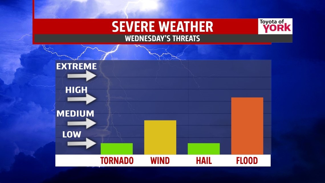
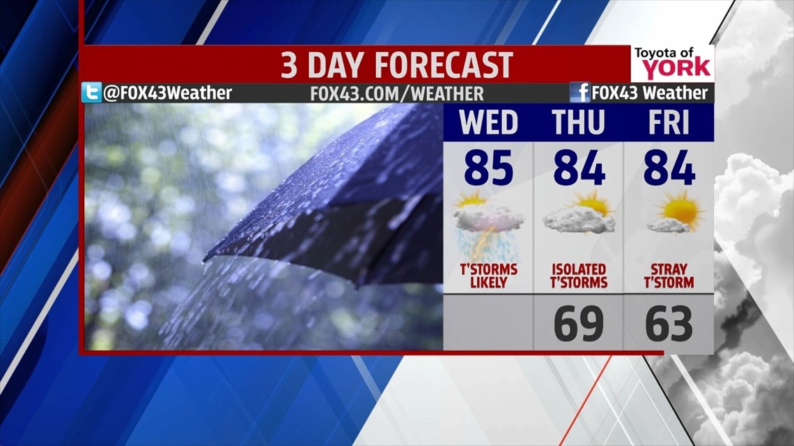
STORMY DAY: The heat is on. The humidity is on. And now, the storms are about to turn on. A cold front will help fire showers and thunderstorms today in this warm and very stuffy air mass. Expect the rain to be heavy at times, with frequent lightning possible and a few gusty, strong to severe storms too. Localized flooding is possible as storms set up and move too slowly for the drainage systems, creeks, and streams to handle in spots. Showers and storms will dance through the region throughout the day. Highs hit the middle 80s.

ENDING THE WEEK: A few storms may linger into Thursday, but expect a drier day overall. Highs hit the low to middle 80s as the edge of high pressure slides by us. We’re partly cloudy, still warm, and a bit less humid. Friday starts clear with a few clouds passing through the day. A stray storm or two cannot be ruled out, but it looks mainly dry.

WEEKEND: Saturday and Sunday are both warm & muggy with highs topping out in the middle 80s. We may see a storm or two for Saturday late and then again on Sunday. However, the weekend looks mostly dry for your plans at this time.
NEXT WEEK: As we move into the start of the holiday week, we are looking at a warm up. Highs Monday hit the upper 80s with plenty of warmth and humidity. Scattered storms may pop during the day. Tuesday, a bubble of hotter air pushes north nudging us toward 90° with storm chances increasing as the next front pushes east.
Have a wonderful Wednesday!
“To be yourself in a world that is constantly trying to make you something else is the greatest accomplishment.” – Ralph Waldo Emerson
– Jeff Jumper, WPMT FOX43 Morning Meteorologist
Follow me on Twitter: @JeffJumperWX
Like me on Facebook: Jeff Jumper FOX43