

THIS EVENING: Upper level low will lift to the northeast tonight, skies will clear and much cooler air settles in as temperatures drop quickly from the 70s to the 60s.


OVERNIGHT: With clear skies, drier air in place and light winds, it will be a good night for radiational cooling. Lows will dip well below average into the mid and upper 50s.
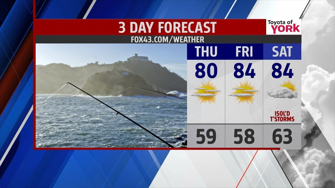
TOMORROW: Once again we start out with sunshine but with colder air in the upper levels as upper level energy swings by, we’ll see clouds develop in the afternoon. They will dissipate as we head into the evening. Highs will warm to the upper 70s to around 80 degrees.


OUTLOOK: Thursday night will be even chillier and we head again into the 50s. Another decent day expected to end the week Friday with a sunny start but the winds will shift as high pressure moves off the coast. This will lead to the skies becoming partly sunny later towards evening but it should be dry start to the weekend. It will be a bit warmer in the low 80s. There will be plenty of dry hours over the weekend but with the wind shift to the south-southwest and a closed upper level low in our west slowly inching towards the east coast, more moisture starts to creep in and we’ll feel the humidity more each day heading into next week. We’ll also carry an isolated storm threat each day until Tuesday when there is a better chance for showers and storms. Highs will be in the low to mid 80s for the Weekend but it will be warmer and more humid as we head into the week. We continue the storm threat as a cold front drives through Wednesday bringing another threat for showers and storms.


MaryEllen Pann, Chief Meteorologist
Like me on Facebook: maryellenpannfox43
Follow me on Twitter: @MaryEllenFox43