

MUGGY AND MILD NIGHT
A complex storm system continues to slowly drift this way, increasing the chance for showers and thunderstorms through the rest of the weekend. An approaching warm front brings a wave of showers through the night. It’s muggy and mild, with low temperatures in the middle 60s to near 70 degrees. The showers exit by daybreak, with some sunshine poking out as the morning progresses.
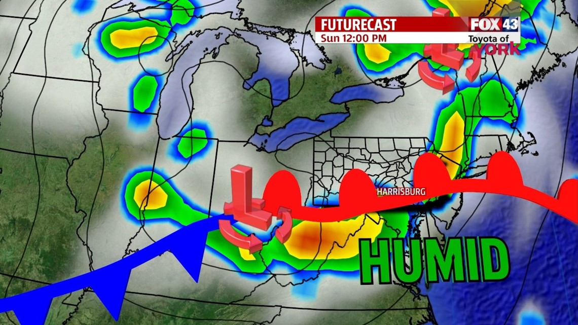
STORMY SUNDAY


We’ll be monitoring the forecast very closely on Sunday. An area of low pressure and its adjacent cold front approach, bringing the chance for showers and thunderstorms. Some of the storms could be strong to severe. Damaging winds and hail are the main threats right now, but an isolated tornado cannot be ruled out. Expect locally heavy downpours too. It’s sticky and humid again, with highs in the middle to upper 80s. The cold front hangs around Monday, so showers and thunderstorms are possible again. This chance dwindles through the afternoon. Highs are in lower 80s. Less humid air rushes in late Monday.
COOLING OFF AGAIN
The cold front clears the region by Tuesday. Cooler air rushes in behind it, and brings more days with below average high and low temperatures. Tuesday is the coolest day, with partly sunny skies and highs in the middle to upper 70s. Wednesday the area slowly warms into the lower 80s under plenty of sunshine. Thursday temperatures continue to edge closer to seasonable averages, and the sunshine continues. Friday, the warmth and some humidity return, but it stays dry. Saturday, there’s a chance for a few isolated thunderstorms, but the day looks mainly dry. Highs are in the upper 80s.
Enjoy the rest of your weekend!
-Andrea Michaels