


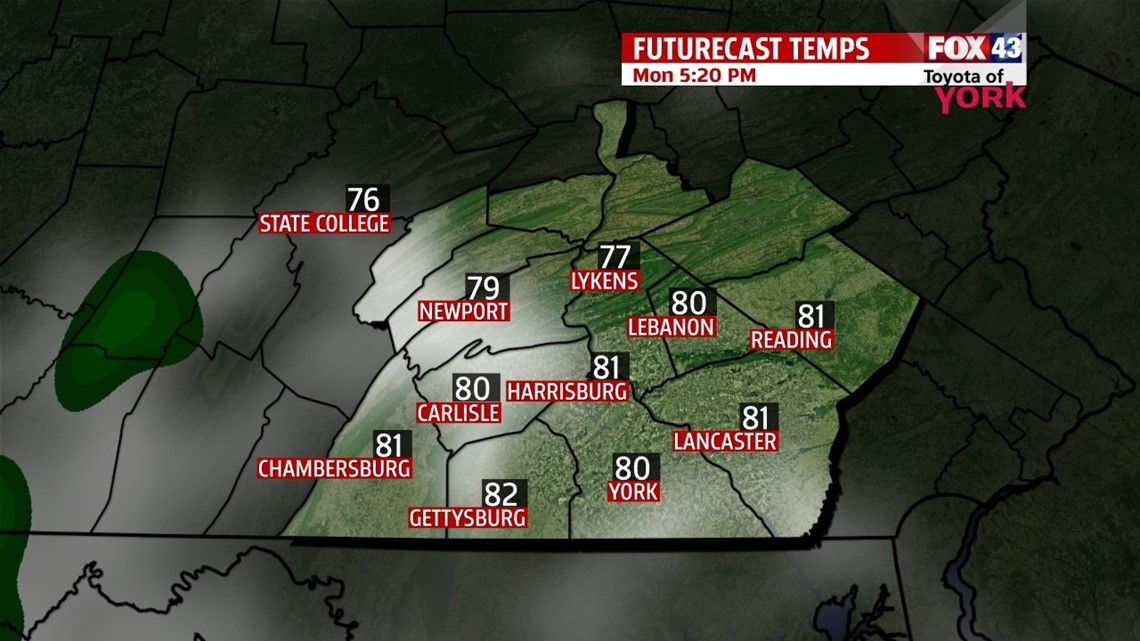
MAINLY DRY START


A cold front has cleared the region, allowing sunshine to peak out this afternoon. This keeps us dry through the night, with partly to mostly clear skies. It’s a quiet night, with lows in the upper 50s to lower 60s. Some of us begin with foggy/hazy spots on Monday. Otherwise, it’s a sunny start. Our next system spills in some clouds by the afternoon. Expect more clouds along the southwestern parts of the region, and less by way of clouds towards the northeast. The humidity returns later in the day. Highs are in the upper 70s to lower 80s. A few showers are possible overnight Monday, and Tuesday we still see the chance for a few thunderstorms. Highs are in the lower to middle 80s.
T’STORM CHANCES INCREASE
Wednesday another storm system swings through, so there’s the chance for more widespread thunderstorms. The humidity remains in place, and sticks around through the rest of the workweek. Thursday and Friday, there’s still a thunderstorm chance. Highs hover near seasonable averages in the lower to middle 80s Wednesday and Thursday. Friday, highs are near 80 degrees.
NEXT WEEKEND
Through the weekend, thunderstorm chances are going to continue. Temperatures fall into the upper 70s to near 80 degrees on Saturday and hover near 80 degrees on Sunday. The sticky feel in the atmosphere continues too.
Have a great week!
-Andrea Michaels
