


ANOTHER COOL NIGHT

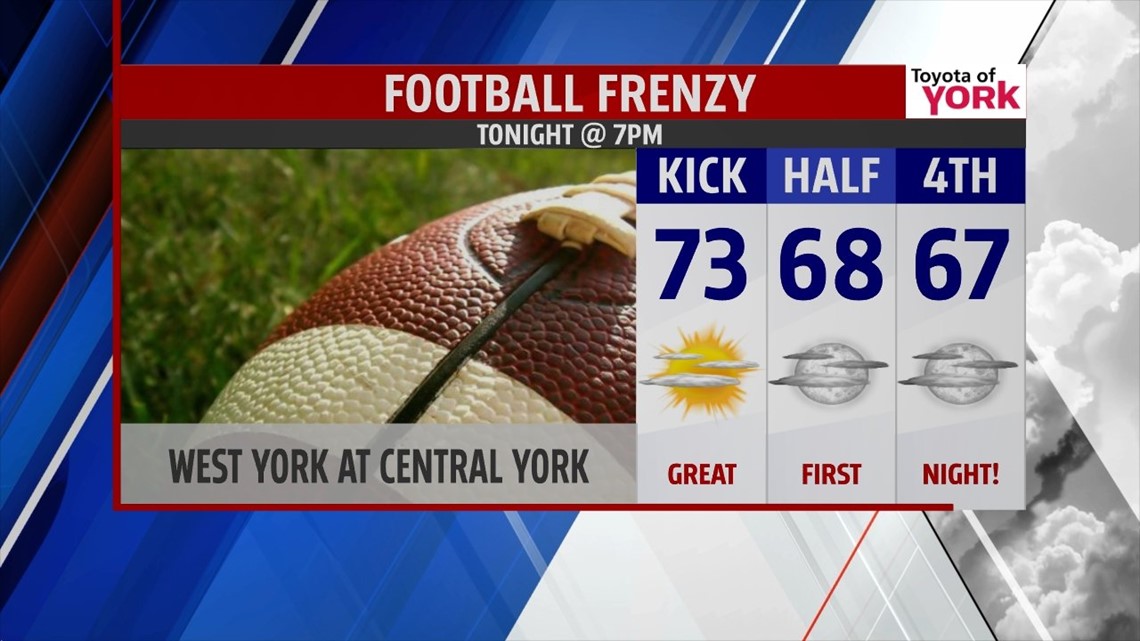
Canadian high pressure to our northeast keeps the cooler air locked in place as we head into the holiday weekend. It’s another beautiful evening, perfect for any plans or high school football. Expect some periods of passing clouds overnight, otherwise it remains quite pleasant. Lows are not nearly as chilly, but still cool. Expect readings to dip into the middle 50s to lower 60s.
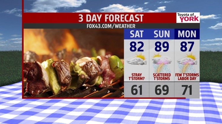
LABOR DAY WEEKEND
On Saturday, temperatures should have no problem reaching the lower 80s once the cooler air exits early. Expect plenty of humidity to build gradually through the day, creating an uncomfortable feel. It’s a mainly dry day, but there’s the chance for a stray thunderstorm. The best chance will be out west. Sunday a cold front brings afternoon scattered thunderstorms. Labor Day a few isolated thunderstorms are still possible, but it won’t put a damper on any outdoor plans. Temperatures are very warm and humid, in the middle to upper 80s on Sunday and Monday.
STAYING WARM
Tuesday our next system approaches. This brings a better chance for thunderstorms with highs falling into the lower to middle 80s by Wednesday. The sun is back on Wednesday, and this continues into Thursday. Highs remain above seasonal averages.
Have a great Labor Day Weekend!
-Andrea Michaels
