
Hello weekend!
I swear, every time I fill in lately, it rains.
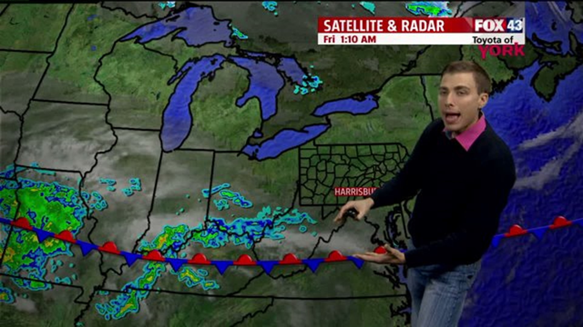
Though, these days, we could use the rain. We sit about 3 inches below average for rainfall since September 1st.
Today, after some brief morning sun, we'll spend most of our day cloudy. Expect to see a few spotty showers here and there, but the steadier rain holds off until tonight.

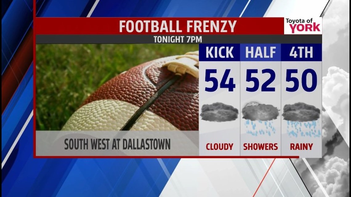
If you have Football Frenzy plans, I'd prepare for a wet second half of the game. Yet, you may luck out with the steadier rain holding off until the end of the game. The best places for this to happen will be north of Franklin, Adams, York, and Lancaster Counties.
Heads up: You can watch us live for Football Frenzy pregame coverage of South West at Dallastown tonight at 6 P.M. on FOX43 WPMT!
Our high only reaches the low 60s today because of the clouds.
Look for temperatures in the 50s for all football games tonight.
With the cloudy and rainy skies tonight, we tumble to 48.
We start Saturday cloudy and rainy. The rain will taper off from west to east around noon. Late in the day, a small bit of sun will try and break through the clouds. Don't expect much sun, though. The high climbs up to 64.
Overall, we'll grab between a half of an inch to an inch of rain from this area of low pressure riding over us.
We turn chilly Saturday night with the clearer skies. In fact, we drop to 42.
On Sunday, an area of high pressure brings mostly sunny skies. The sunshine will bring us high in the mid 60s.
On Monday, that area of high pressure will still influence our weather enough to keep the skies partly sunny for most of the day. Highs reach the upper 60s as a warm front arrives.
Then, we turn cloudy Monday night.
On Tuesday, we keep the clouds all day. We'll also see some showers as a soaker gets ready to roll over us on Wednesday.
Despite the clouds on Tuesday, milder southerly airflow lifts the temperatures into the mid 70s! We'll also have breezy conditions.
We usually get breezy conditions anytime we have a big temperature swing over a short period of time.
Friday Fun Fact: The Earth evens out temperature imbalances with the wind. We get windy conditions anytime we go from cool to warm or warm to cool. The Earth wishes we could have California temperatures year round, but I don't think it will get that wish any time soon. It tries to make this happen with the wind, its tool to move around warmer and cooler air.
On Wednesday, we're tracking an area of low pressure that will bring a lot of rain. We'll keep you updated on this because we still need more time to watch this and adjust the forecast. The rainy conditions on Wednesday will keep our high in the mid 60s.
On Thursday, we start drying out. The breezes return as cooler air settles into our area. Highs in the mid 60s encore.
-FOX43 WPMT Meteorologist Drew Anderson