

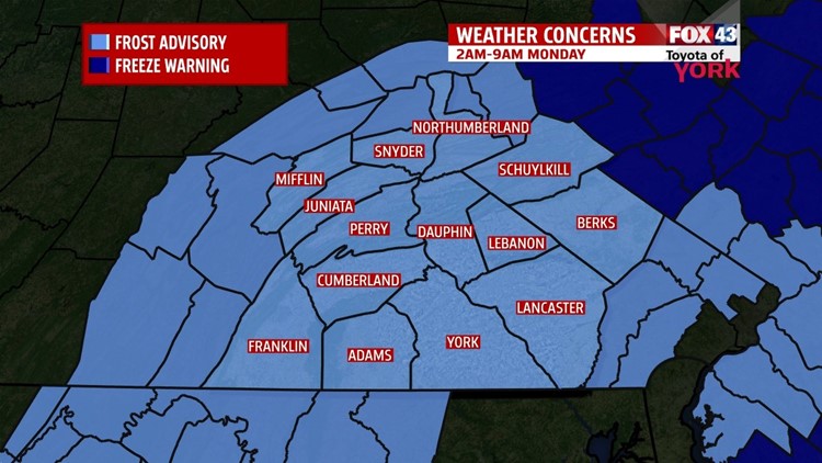

COLD AND FROSTY NIGHT
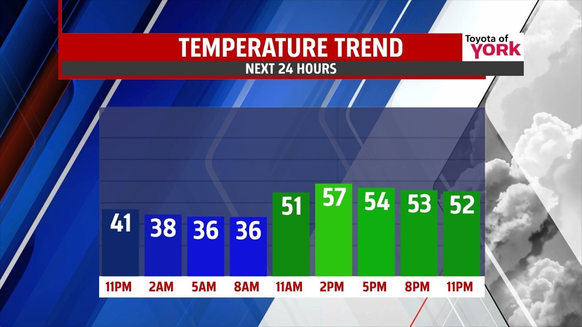
A cool bubble of high pressure has settled into the region, and it makes for a cold Sunday night. Winds calm through the evening, and clear skies help temperatures to quickly plummet through the 40s. Widespread frost is expected through the region during the overnight period, with low temperatures falling into the 30s. The pattern remains cool leading into the start of next week too. After the cold, frosty start, Monday is mainly dry with building clouds. A few late day sprinkles are possible with the approach of our next system. Highs rebound a bit to near 60 degrees.
SHOWER CHANCES RETURN

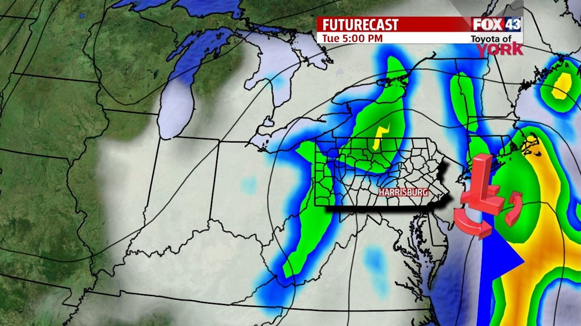
Our next system arrives Tuesday, bringing cloudy skies and a few showers. The system stalls just off the Atlantic coast, keeping the clouds and shower chances around through the middle of the week. Temperatures are stuck below seasonable averages in the 50s Wednesday and Thursday.
WEEKEND SUNSHINE
By Friday, the stalled system finally pushes east. This means skies dry out, and temperatures begin to bounce back near seasonable averages. Saturday, the sunshine continues. The pattern continues to warm through Sunday, with highs in the middle to upper 60s.
Have a great week!
-Andrea Michaels
