


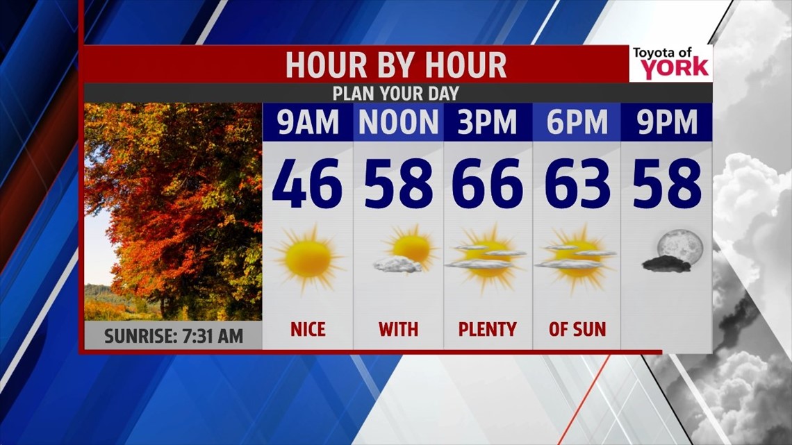
COLD & FROSTY NIGHT


High pressure keeps the skies clear through the night, but it won’t come without any chill. Temperatures quickly fall out of the 50s this evening under those clear skies. As the winds gradually calm through the night, temperatures continue to plummet into the 30s to near 40 degrees across the region. This sets our region up for frosty spots late. As a result, a Frost Advisory is in effect for the entire area.
WARMING NEXT WEEK
High pressure is still in control Monday, so the sunshine continues. A warm front passing through later in the day brings a few passing clouds. It’s a mild day with temperatures in the lower to middle 60s. Tuesday brings plenty of unseasonable warmth. Highs are in the lower to middle 70s! Our next shower chance arrives with a cold front early on Wednesday. It won’t be a soggy day; just expect a few passing showers. By Thursday, it’s dry again, but temperatures are cool again with readings in the middle to upper 50s.
HALLOWEEN SHOWERS/WEEKEND CHILL
Friday our next system drops down and brings the chance for a few showers. We’ll watch the timing closely, because currently it looks like trick-or-treat time will be affected at least partially. Saturday there’s still a chance for showers. Highs are in the 50s again Friday, and even cooler on Saturday as the first day of November begins. Temperatures cool into the 40s for the weekend! Don’t forget, Daylight Saving Time ends on Sunday. Push the clocks back an hour for your extra hour of sleep!
Have a great week!
-Andrea Michaels
