

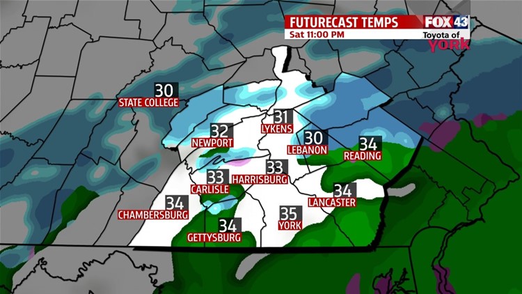

QUIETING DOWN OVERNIGHT
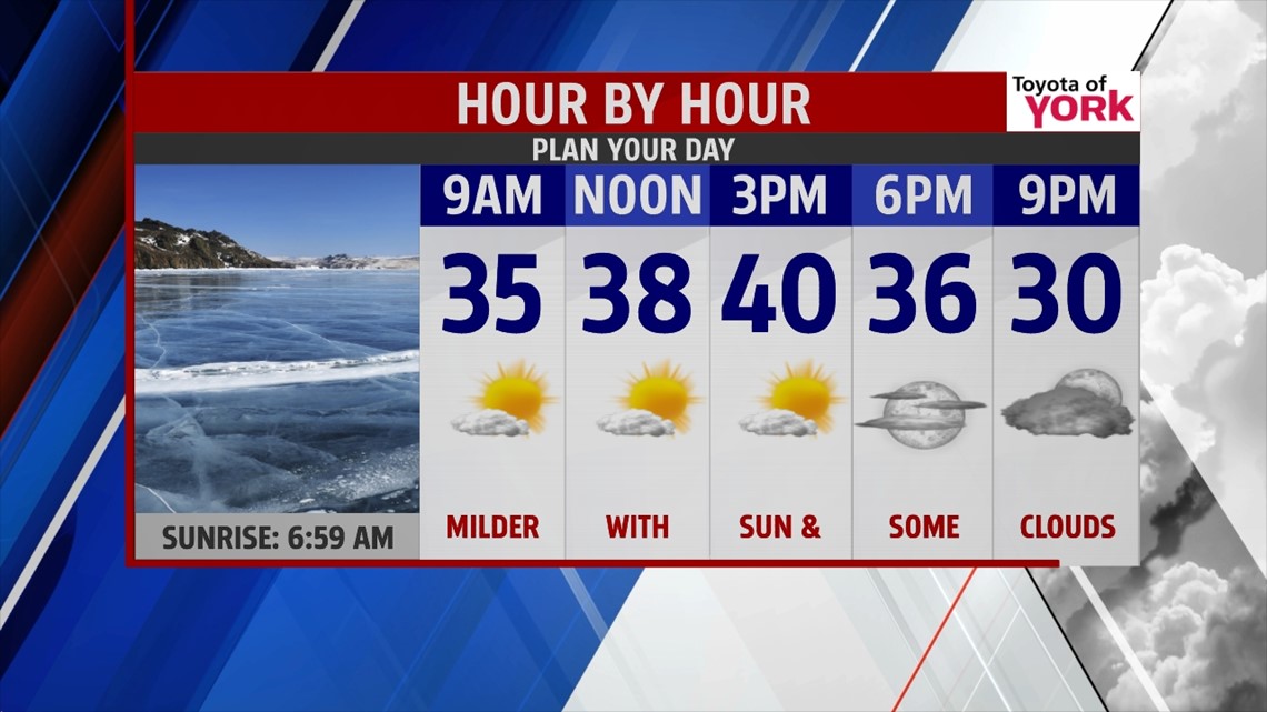
Light to moderate snow continues to push through the region this evening. There’s going to be a brief lull in the activity for many through the rest of the day, but it picks up again toward the evening hours. By mid to late evening, some mixing with sleet and freezing rain takes places before ultimately changing to rain around midnight. Through the rest of the night, any mixed precipitation comes to an end, and clouds begin to break apart late. Total accumulations range from 3 to 8 inches. Temperatures rise overnight into the upper 20s to lower 30s before dipping back into the 20s near daybreak. Sunday is a milder day with more sunshine. Expect afternoon highs near 40 degrees.
BRIEF ARCTIC BLAST

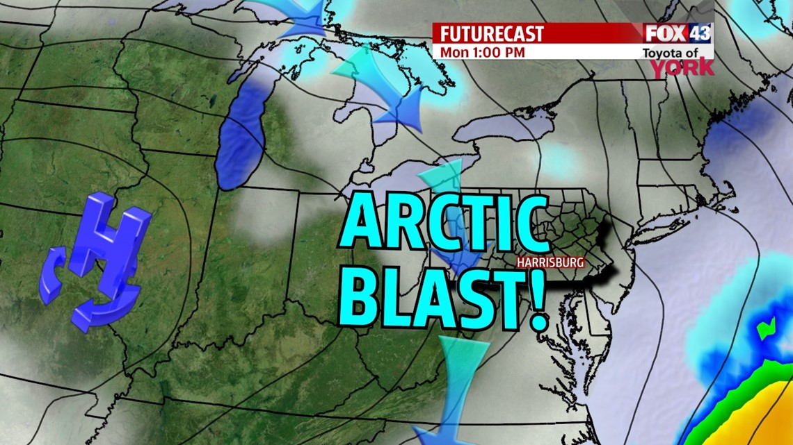
Overnight Sunday arctic air begins to pour back into the region. High temperatures occur near midnight, in the middle to upper 20s, and fall through the morning and afternoon hours into the teens and single digits. Breezy winds bring back cold wind chill values too. This leads to another brutally cold morning Tuesday, with lows near 0. It’s out of here by Wednesday, and temperatures are a little closer to seasonal averages for this time of year.
ANOTHER ARCTIC INTRUSION
Another shot of arctic air plummets into the region for Thursday and Friday. Expect lows in the single digits Thursday and perhaps near 0 on Friday morning. Afternoon highs are near 20 degrees. The cold air helps set us up for the next system we’re keeping an eye on. It looks to start as snow late Saturday, but there is indication toward some mixing Saturday night. We’ll keep you posted on how this develops.
Enjoy the rest of your weekend!
-Andrea Michaels
