

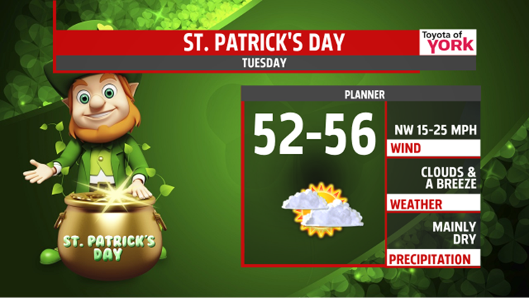
ST. PATRICK’S DAY: Today is a transition day for us, but the first half looks mild and comfortable. Highs hit the middle 50s under mainly cloudy skies. We could see a few light showers in a handful of spots, but it’s looking like a mainly dry day.


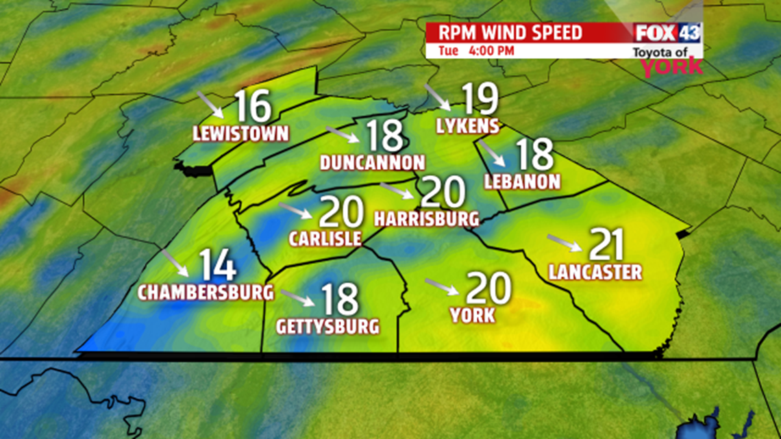
Then later in the day, the breeze picks up at 15-25mph as colder air begins to spill in. Skies clear as temps drop through the 40s and into the 30s by evening. We drop to the middle 20s tonight.

MIDWEEK: It’s breezy and chilled for Wednesday. Despite sunshine, a northwest breeze will add to the chill. Highs are only near 40°. Thursday, we bump to the middle 40s and clouds slowly build back in late.


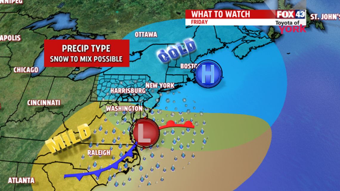
FRIDAY SYSTEM: Friday looks to feature a storm system moving in from the south while cold air from the north tries to escape. We will see the chance for a snow to a mix beginning by daybreak and lasting into the afternoon hours. A lot needs to be hammered out here, so check back for details. Highs are only in the low 40s at best.

WEEKEND: Saturday looks to warm a bit ahead of our next system. It’s mostly cloudy with highs in near 50°. Overnight a front slips through and a few showers may slide by. Then Sunday it’s breezy and cooler with highs in the lower 40s.
SPRING EQUINOX: Friday marks the start of spring. At 6:45PM EDT, the sun’s direct rays will sit directly over the equator. For the next six months, we’ll see the sun’s most direct rays in the northern hemisphere.
Make it a terrific St. Patrick’s Day!
“No winter lasts forever; no spring skips its turn.” – Hal Borland
- Jeff Jumper, WPMT FOX43 Morning Meteorologist
Follow me on Twitter: @JeffJumperWX
Like me on Facebook: Jeff Jumper FOX43
