

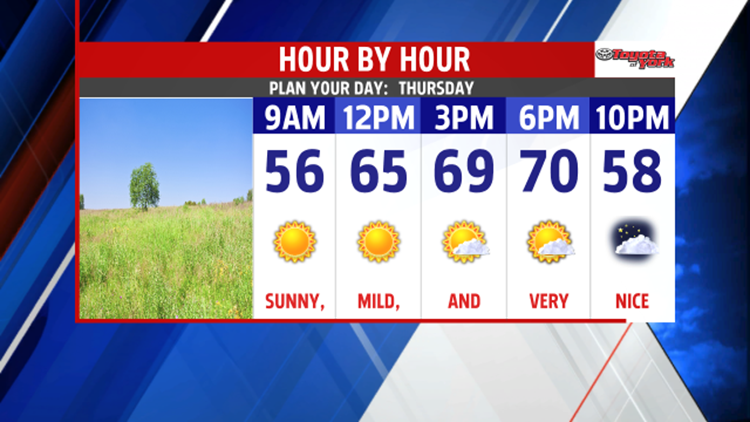

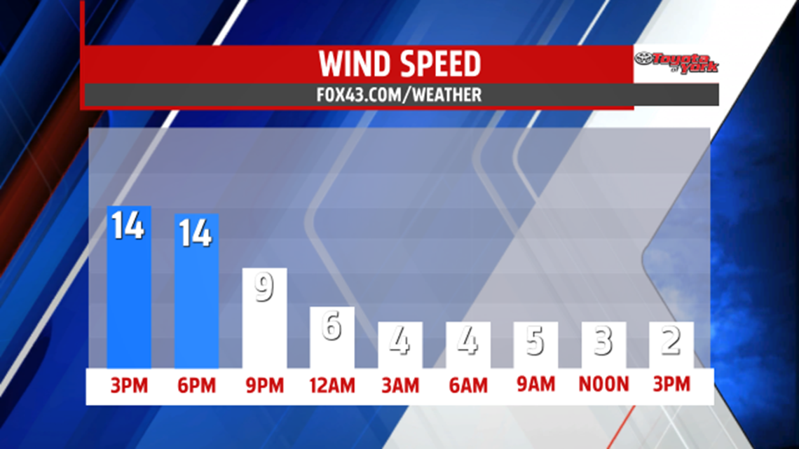

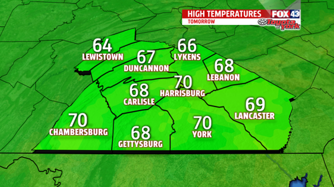
COOL & COMFY: A cool and breezy day quiets down as we move into the overnight period. The breezes gradually fade, and the clouds do so as well. Mainly clear skies and light winds late allow overnight low temperatures to fall into the lower to middle 40s. Thursday features plenty of sunshine and a more seasonable day. Highs are in the 60s to near 70 degrees.

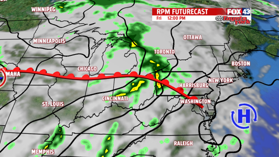
UNSETTLED WEEKEND: Clouds begin to build back into the area Friday as the pattern prepares to turn unsettled once more. A late day shower or thunderstorm is possible. The weekend turns a bit on the unsettled side. There will be the chance for a few thunderstorms on both Saturday and Sunday. Saturday, are in the lower 80s, and then middle 80s on Sunday.
NEXT WEEK: The pattern next week likely remains unsettled as a cold front approaches. It moves through the area Monday into Tuesday, bringing scattered showers and thunderstorms. Highs are near 80 degrees. Tuesday skies dry out slowly after morning shower and thunderstorm chances. Temperatures cool off a touch into the middle to upper 70s. On Wednesday cooler and partly sunny skies are expected, with highs falling into the 60s.
Have a great night!
