

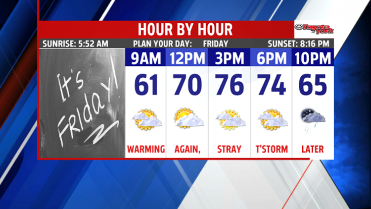
TRANSITIONAL FRIDAY
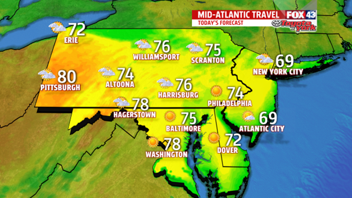
We’re watching a warm front approaching for the weekend, and it brings with it the return of summer air. Today, we see the clouds ahead of the front and maybe even a few showers or thunderstorms later in the evening. Highs hit the middle 70s. We’ll drop into the 60s overnight.

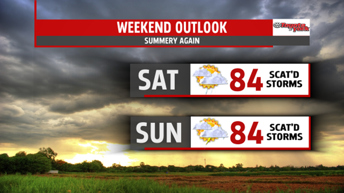
SUMMERY WEEKEND
Saturday, warmer air pushes in from the south. It’s mostly cloudy with a slow uptick in humidity too. Highs are in the middle 80s. We’ll watch scattered showers and thunderstorms develop in the afternoon and evening, with storms lingering overnight. We’re warm and muggier on Sunday too. Expect mostly cloudy skies with the chance for some afternoon thunderstorms.

ANOTHER FRONT
A cold front will push through on Monday. It keeps us mostly cloudy and on the warm side with highs near 80°. Scattered thunderstorms press through later in the day and overnight. We taper the showers on Tuesday with highs dropping to the middle 70s. Midweek looks dry and slightly below average with highs near 70°.


Have a fantastic Friday and an enjoyable weekend!
“Sometimes it takes a meltdown to cool down.” – Evinda Lepins
