

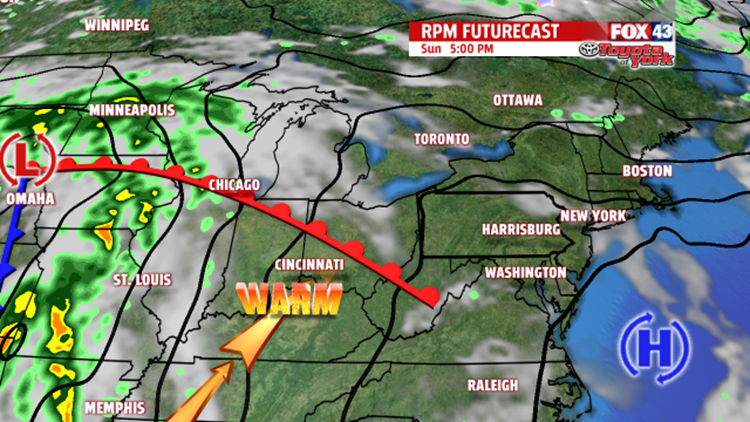

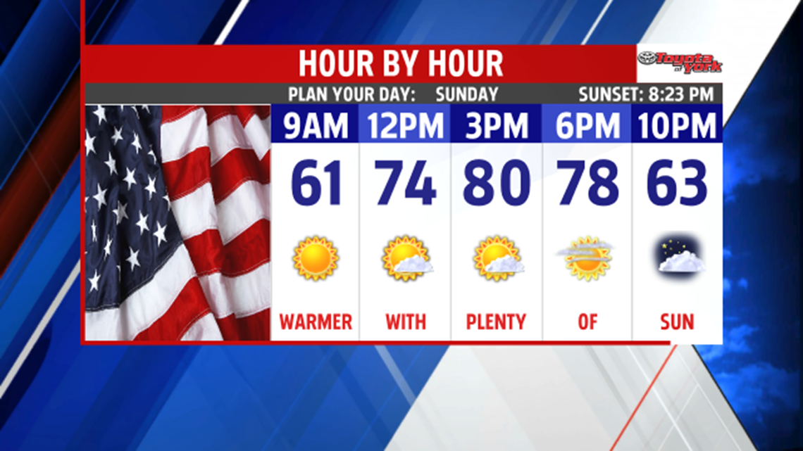
WARMING BEGINS SUNDAY: High pressure in control of our weather brings us another cool night, but it’s shifting off to the east, and this brings some changes over the next couple of days. Tonight is clear and calm, but it’s not nearly as cold. Overnight low temperatures fall into the 40s to near 50 degrees. Through Sunday, a warming pattern takes hold, boosting our temperatures in the upper 70s to near 80 degrees. Expect some passing clouds, but still a fantastic day.


MEMORIAL DAY FORECAST: Temperatures turn even warmer as we move into Memorial Day. There’s the chance for a stray afternoon shower or thunderstorm, but overall it looks great for any outdoor plans. Highs are in the lower to middle 80s. It turns a bit humid, but it will be more noticeable through the rest of the week. It’s even warmer by Tuesday, with temperatures near 90 degrees. A few thunderstorms are still possible during the afternoon and late day hours.
VERY WARM & HUMID: The very warm and humid pattern continues through the middle of the week. The cold front crosses through Wednesday, bringing a widespread chance for showers and thunderstorms. The front stalls just to our south, meaning more shower and thunderstorm chances Thursday and Friday. This also means temperatures won’t cool very much. It’ll take yet another system sweeping through to push it away or dissolve it. That comes with our next thunderstorm chance on Saturday. Highs remain in the 80s through this time frame.
Enjoy the rest of the weekend!
