SHOWER THREAT REMAINS THROUGH FOURTH OF JULY
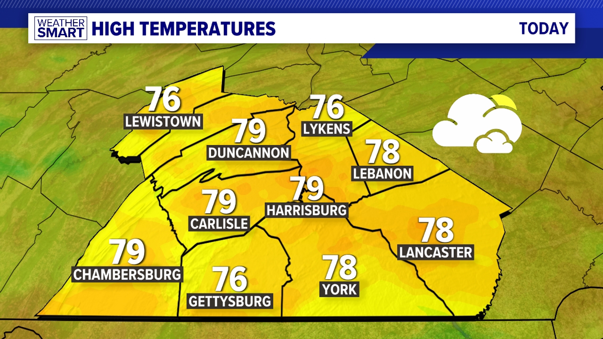
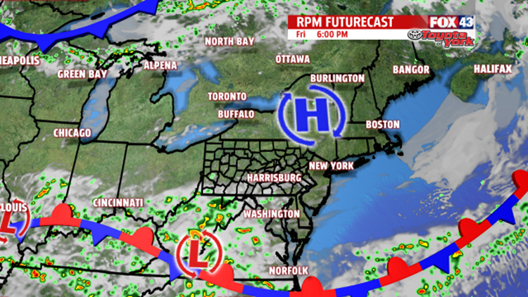
The blanket of clouds overhead will start to break up heading further into the evening and overnight period. Lows tonight will be comfortable in the low to mid 60s. A stationary boundary to our south across Maryland, extending west, will continue to bring a shower chance to parts of the area, especially south, as waves of low pressure ride along it. Rain chances are lower further to the north. Plenty of clouds to end the week will keep temperatures staying below average in the upper 70s. An easterly flow sets up during the day Friday, and, combined with another much stronger wave of low pressure moving along the front, may help to trigger a few showers later in the evening and overnight period. Lows will be in the mid 60s Saturday morning. It looks now there could be a good shot at spotty showers for the start of the weekend. Plenty of clouds will limit sunshine for the holiday, and as a cold front swings through, we may see an afternoon shower pop up. Highs still running below average will only warm to the upper 70s.