We salvaged the second half of the holiday weekend with more sunshine.
Though, in the afternoon, the clouds increased.
This trend continues tonight as some showers and storms come up from the south.
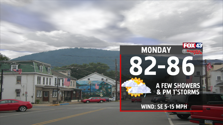
On Monday, we’ll have mostly cloudy skies.
We’ll have a few isolated showers throughout the day. In the afternoon, we’ll get a few thunderstorms. Some of these thunderstorms will have heavy rain.
The showers and storms wrap up not too long after dark on Monday.
Highs reach the mid 80s.
Look for partly sunny skies on Tuesday.
Highs top out in the upper 80s because of more sun and because of an approaching cold front.
We usually get some of our warmest weather ahead of a cold front, because it draws up mild air from the south.
We turn even more humid, too. In fact, we stay humid all week!
In the afternoon, a spot or two will get an isolated thunderstorm.
The showers and storms turn more widespread on Wednesday as a cold front crosses over us.
After the cold front crosses over us on Wednesday, it will stall out to our south. As a result, we’ll not get any relief from the humidity. We’d need the front to go farther south so that drier, Canadian air could reach us.
With the front just south of us, clouds will hang around our skies and we’ll get a few showers on Thursday.
The clouds and showers will take our highs down a tad to the low 80s.
On Friday, the sun–and the heat–returns. Highs soar to the upper 80s, again.
We’ll even get 90s by the end of next weekend!


