

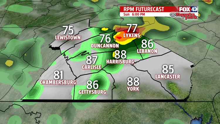

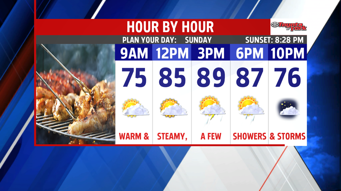

T’STORM CHANCES RETURN: The humidity is slowly on the rise this evening, a trend that continues through the night. With that said, it’s a muggier and milder night, with overnight low temperatures in the middle to upper 60s. Skies are partly clear with an approaching cold front to the west. As the cold front continues to move west, this brings the chance for a few showers or thunderstorms Sunday afternoon. It’s still very warm and quite humid. High temperatures are in the middle to upper 80s.

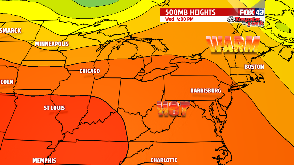
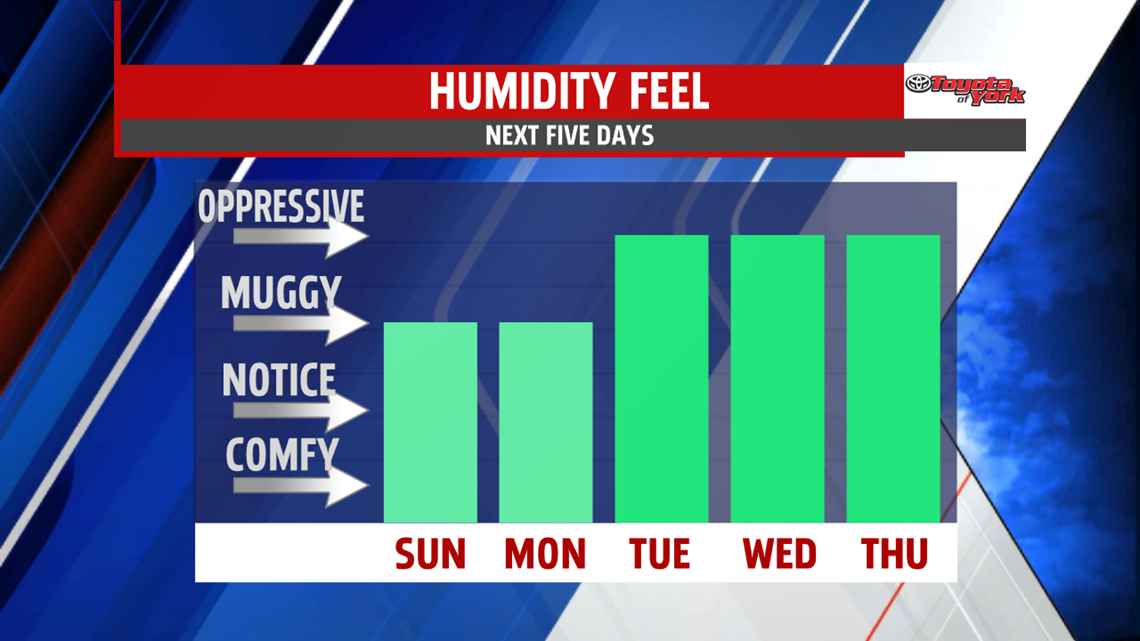
CRANKING UP THE HEAT: An isolated thunderstorm is possible Monday, otherwise a very dry period is ahead. The heat increases too! Monday approaches 90 degrees, with a few places likely touching it. The heat pushes farther east for the middle of the week. This boosts temperatures to 90 degrees and into the lower 90s through Wednesday. The humidity will make it feel like the middle to upper 90s at times.
JULY ENDS WARM: The heat doesn’t let up, especially on Thursday. Readings are still in the 90s, but a cold front brings the chance for showers and thunderstorms. Skies should clear out by Friday. It’s still warm and humid, seasonable temperatures for this time of year. Saturday is still dry, but the warmth lingers.
Enjoy the rest of your weekend!
