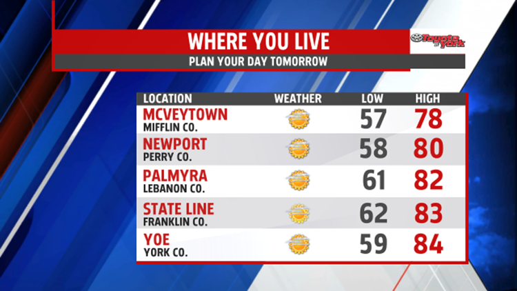

ANOTHER GREAT DAY!: High Pressure is in complete control of the weather, bringing abundant sunshine. The mainly clear skies continue through the evening hours. It’s another comfortable evening with temperatures quickly falling through the 70s and into the 60s. Mainly clear skies remain overnight, with temperatures falling into the middle 50s to lower 60s. Sunday brings some more clouds, and the humidity increases just a touch. High temperatures are in the upper 70s to lower 80s.

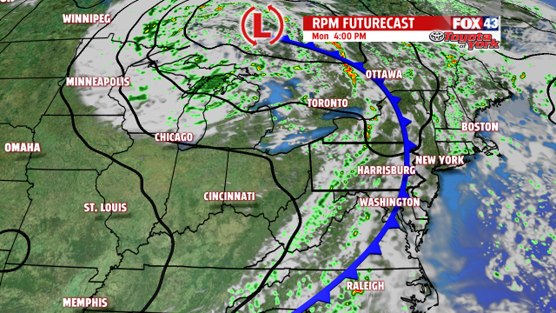
SMALL RAIN CHANCE MONDAY: Next week starts fairly seasonable for this time of year. Monday a weak cold front crosses through. It could spark a shower or thunderstorm, but most should stay dry. Tuesday the sunshine is back. Humidity levels aren’t too bad, with high temperatures seasonable in the lower to middle 80s.

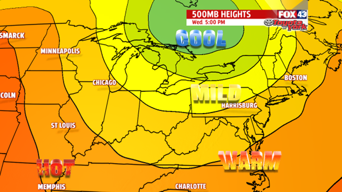
BRIEF MIDWEEK COOLING: By midweek, a cool pool of air drops temperatures a bit below seasonable averages, with readings likely falling into the 70s to near 80 degrees by Wednesday. Thursday highs are in the middle to upper 70s under plenty of sunshine. Mornings are cool as well, with many locations starting in the 50s. Friday, temperatures begin to rebound with highs back near 80 degrees. Seasonable warmth is back Saturday, with temperatures in the lower to middle 80s.
Enjoy the rest of the weekend!