

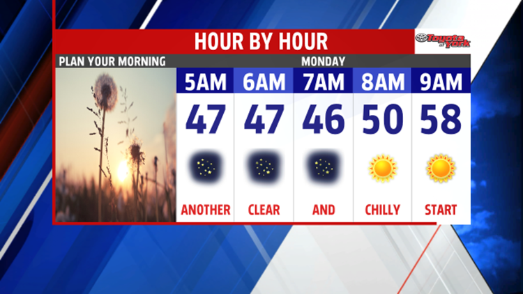

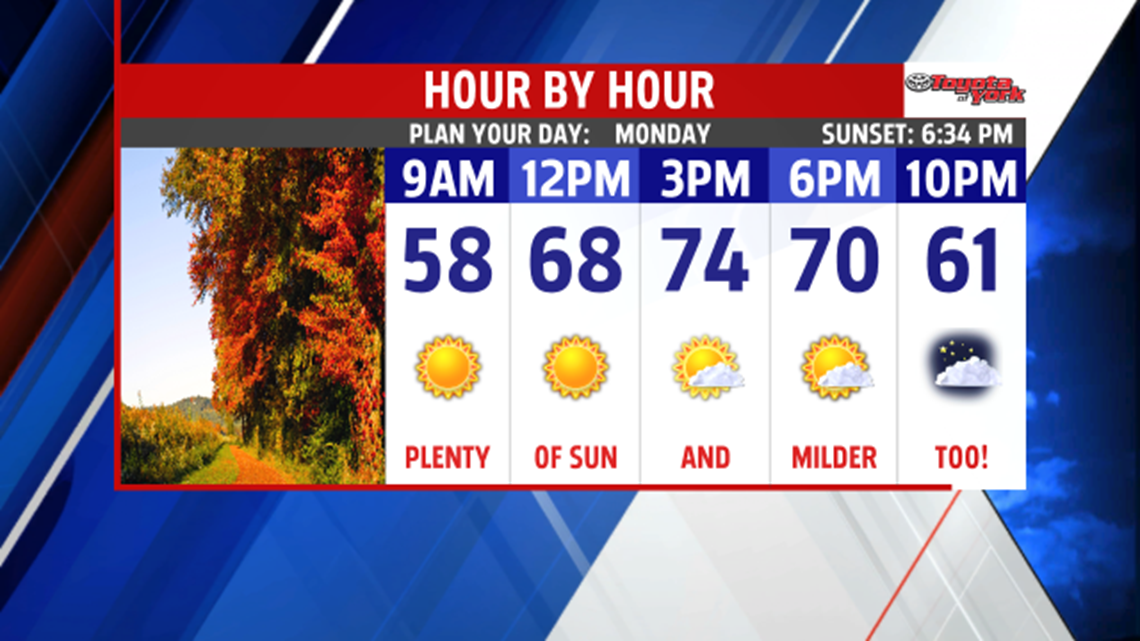

MILDER START TO WEEK: After a mild and wonderful fall afternoon, another chilly night is ahead for Central P.A. Skies remain clear through the night, and light breezes relax. Low temperatures once again are in the lower to middle 40s, and some locations could still dip into the upper 30s. Monday is a mild start to the work week. It’s a bit warmer, with temperatures in the lower to middle 70s. An approaching cold front brings added clouds during the evening.
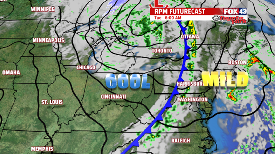
COOLING BACK DOWN: Our next cold front moves through the region late Monday night, bringing our next chance for some showers. A few showers linger through the morning, but the rest of the day is dry. A mixture of sunshine and clouds is expected through the middle of the week. More seasonable temperatures return in the wake of the front as well. Readings fall from the upper 60s Tuesday into the middle 60s Wednesday and Thursday.

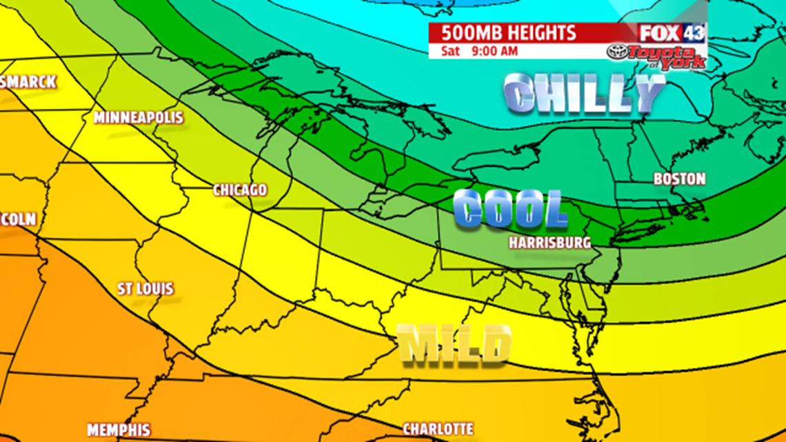
WEEKEND FALL BLAST: Yet another cold front swings through Friday, bringing another chance for showers. It’s a cooler day too, with highs in the upper 50s to lower 60s. Chilly air follows behind the front. Temperatures fall into the 50s on Saturday and Sunday!
Have a great week!
