

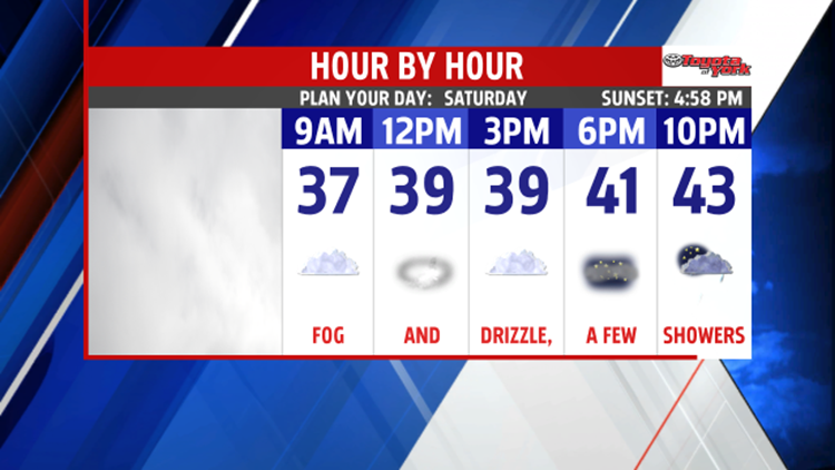


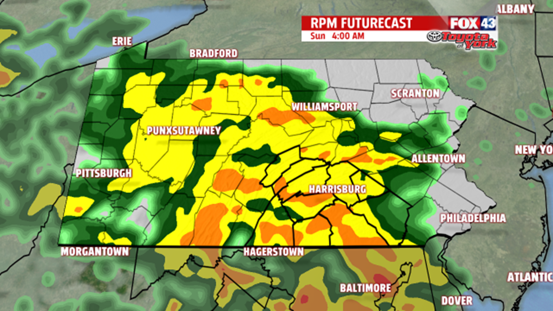
UNSETTLED WEEKEND: Clouds and drizzly pockets hung across the region all day ahead of our next system, and more unsettled weather is on tap for the weekend. Through the evneing hours, pockets of drizzle and foggy areas remain. A wave of showers moves into too. As this happens, some locations to the northwest could see the precipitation freeze on contact, creating icy spots. Mifflin and Juniata counties are the locations we’ll have our eyes on. Temperatures slowly nudge upward a couple degrees through the night, so this threat ends after midnight. The rest of the night brings fog, drizzle, and a couple more showers. Temperatures gradually rise Saturday, reaching the lower to middle 40s by midnight. Skies remain cloudy with fog and drizzly areas through the day. Overnight Saturday and through Sunday morning brings more widespread showers. Readings are even milder, with numbers rising into the lower 50s. It turns quite breezy too.

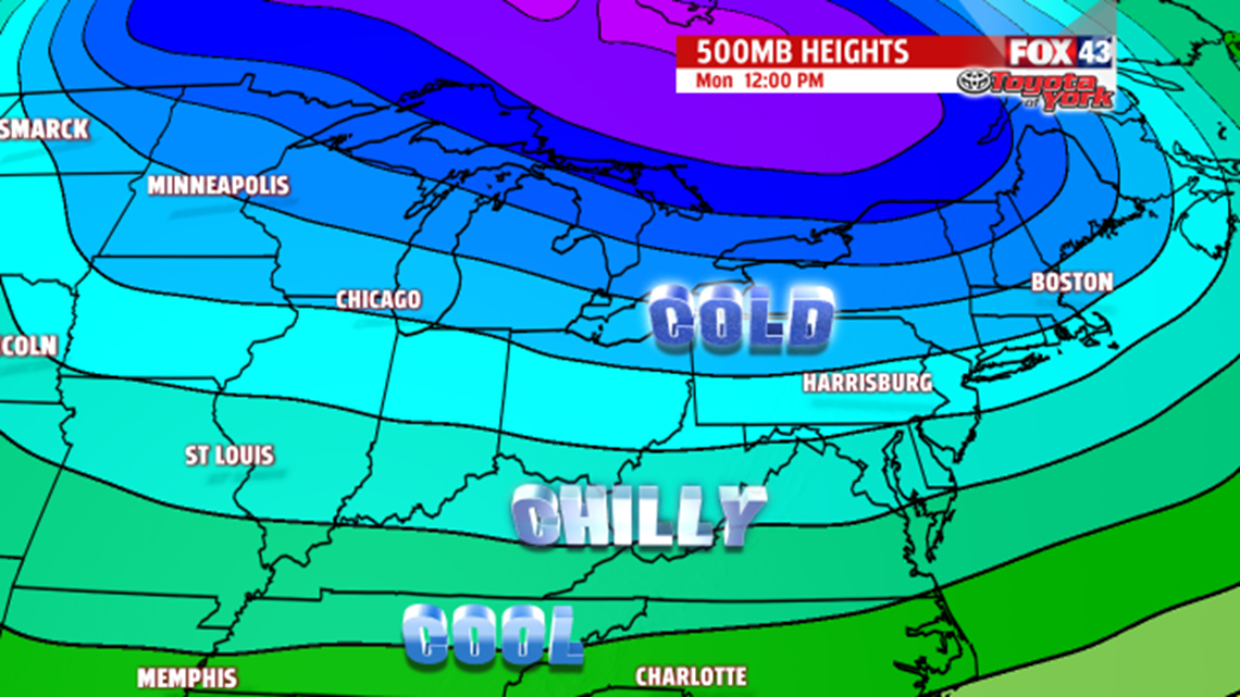
ANOTHER COLD BURST: Another cold push of arctic air moves in early next week. The first comes through Monday, bringing partly sunny skies. It’s breezy too. Temperatures are in the upper 20s to near the freezing mark. Tuesday’s skies are mostly cloudy as a weak clipper system approaches, and temperatures are a couple degrees milder. Some overnight flurries are possible.
ROUND 2 OF COLD: The second burst of arctic air rolls through Wednesday, and this keeps temperatures in the 20s. Skies are mostly cloudy, with some flurries still possible. Thursday and Friday are partly cloudy. Highs slowly moderate to seasonable averages.
Have a great weekend!
