

GUSTY AND COLD CONDITIONS MOVE IN
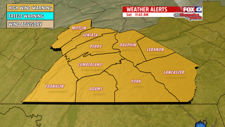
HIGH WIND WARNING in effect from midnight tonight until noon Sunday. Maximum wind gusts nay reach up to 60 mph. Impacts possible are downed tree limbs and isolated power outages. Driving high profile vehicles will be difficult. Today is the time to secure any lose items around the property or they will end up in someone else’s yard. A HIGH WIND WARNING means a hazardous high wind event is expected. Sustained winds speeds of at east 40mph or gusts of 58mph or more can lead to property damage.

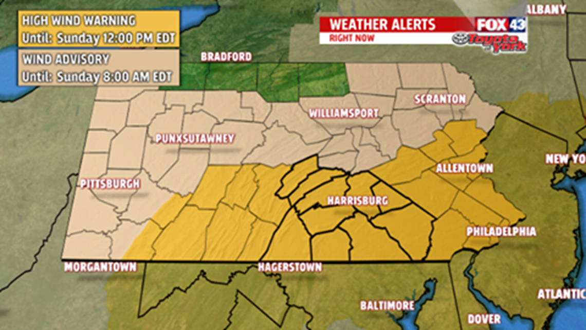
Sustained winds will be from 30 to 35mph, while gusts to 60mph are possible too.

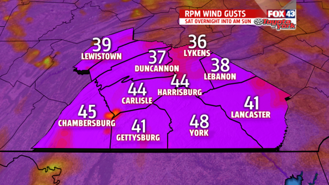
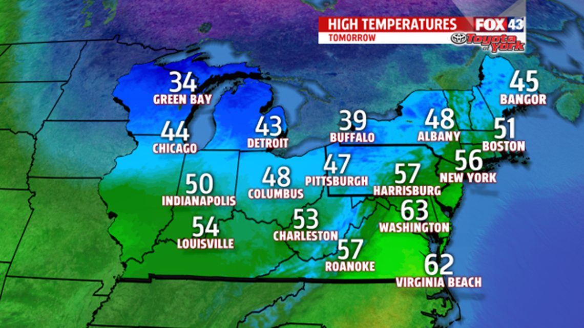
There may be a few showers early in the morning as an area of low pressure rides up along a frontal boundary stalled across the east coast, especially across Lancaster and York Counties. The clouds will break up to allow for some afternoon sunshine before low-pressure swings through dragging a cold front across the region Saturday night. Wet snow may mix in with a few rain showers. Winds will become strong with gusts to 50mph possible. Prepare to secure belongings around your property tomorrow so they don’t end up in the neighbor’s yard. Expect highs in the middle to upper 50s Saturday, but by Sunday, they are going to be much colder in the lower 40s. Morning temperatures in the 20’s may cause damage to sensitive plants or vegetation left outside so prepare to also protect them too. Gusty winds relax a bit late Sunday.

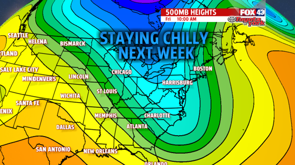
CHILLY BEGINNING FOR APRIL
Another clipper will swing down from Canada Sunday night into Monday. While temperatures may jump to the 50s for the beginning of the week, they fall back to the 40s Tuesday and Wednesday. There is a threat for showers Monday and again Thursday as the next frontal system approaches. The first week of April will remain below average for temperatures.

Stay with FOX43 Weather for updated changes to the forecast through the rest of the week!
Have a good day!
MaryEllen Pann,
Chief Meteorologist
