

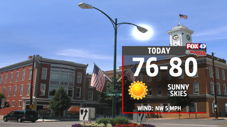
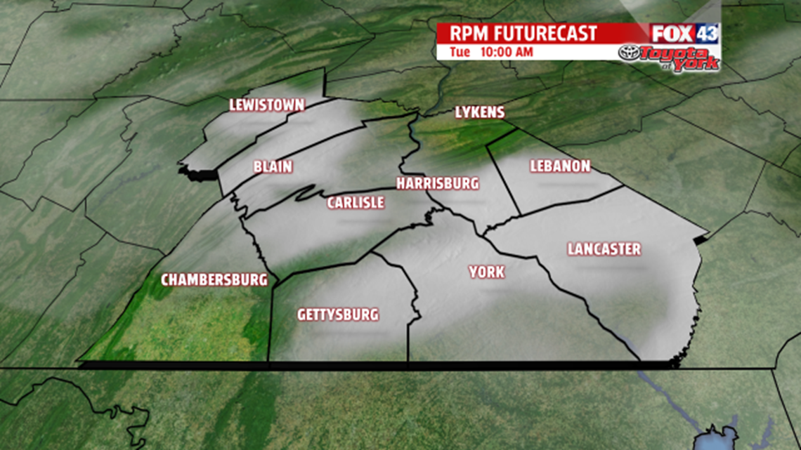
WARM WEATHER: We follow up Sunday's highs in the mid and upper 70s with highs in the upper 70s and low 80s, today. The sunny skies continue, too. We can thank a strong area of high pressure for the beautiful weather. This area of high pressure has sat over the Northeast since the end of last week. Later today, the area of high pressure slowly starts sliding away. So, we'll start tonight clear, but toward daybreak on Tuesday, you'll notice partly cloudy skies. On Tuesday, we'll have partly cloudy skies as a weak cold front crosses in the morning. It’s so weak that it only adds some clouds to our skies. Mostly sunny skies return Tuesday afternoon as we reach the low 70s.

MIDWEEK SUN: Sunny skies come back in full force on Wednesday. Though, our highs back step to 68 because of the cold air brought by Tuesday’s weak cold front. On Thursday, our air flows up from the south, so it will bring warmer weather with it. We’ll get highs in the mid 70s as clouds increase in the sky. By Thursday evening, some showers arrive. The showers continue Thursday night and Friday. Don’t expect a washout–just expect scattered showers off and on during that period. We'll just sneak up to the 70s on Friday.

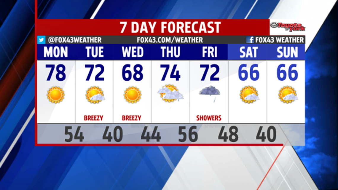
SUNNIER THIS WEEKEND: Partly sunny skies return on Saturday, and they stay for Sunday. The showers on Friday end with a cold front, so we get highs in the mid 60s this weekend. Just for scale, we have average highs in the low 60s these days.
NIGHT SKY: You can see Jupiter very well in the south sky about an hour after sunset at 9 P.M. It will be very bright–the brightest object in the night sky.
-Meteorologist Drew Anderson
