

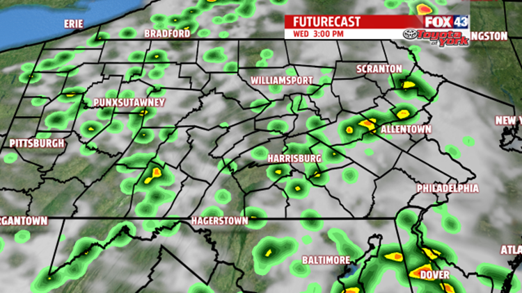
SCATTERED SHOWERS AND A RUMBLE


WEEKEND OUTLOOK
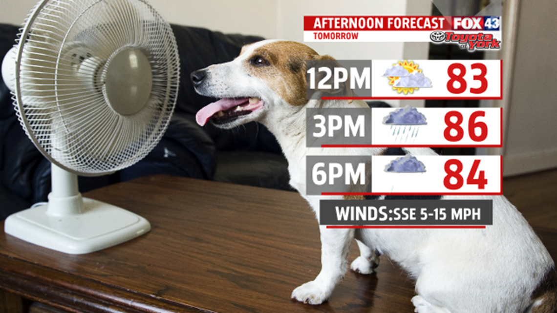
High pressure will battle a stationary boundary hovering just to our south. Right now, plenty of dry hours expected for the weekend. Waves along the front may pull it north enough to trigger a few thunderstorms but timing is difficult to pin point right now. Highs are seasonable in the mid and upper 80s.
NEXT WEEK
Monday looks warm near 90 under partly cloudy skies. An isolated shower or thunderstorm is possible but there is a better chance for showers and thunderstorms Tuesday as a cold front swings in from the west. Highs are expected in the upper 80s.
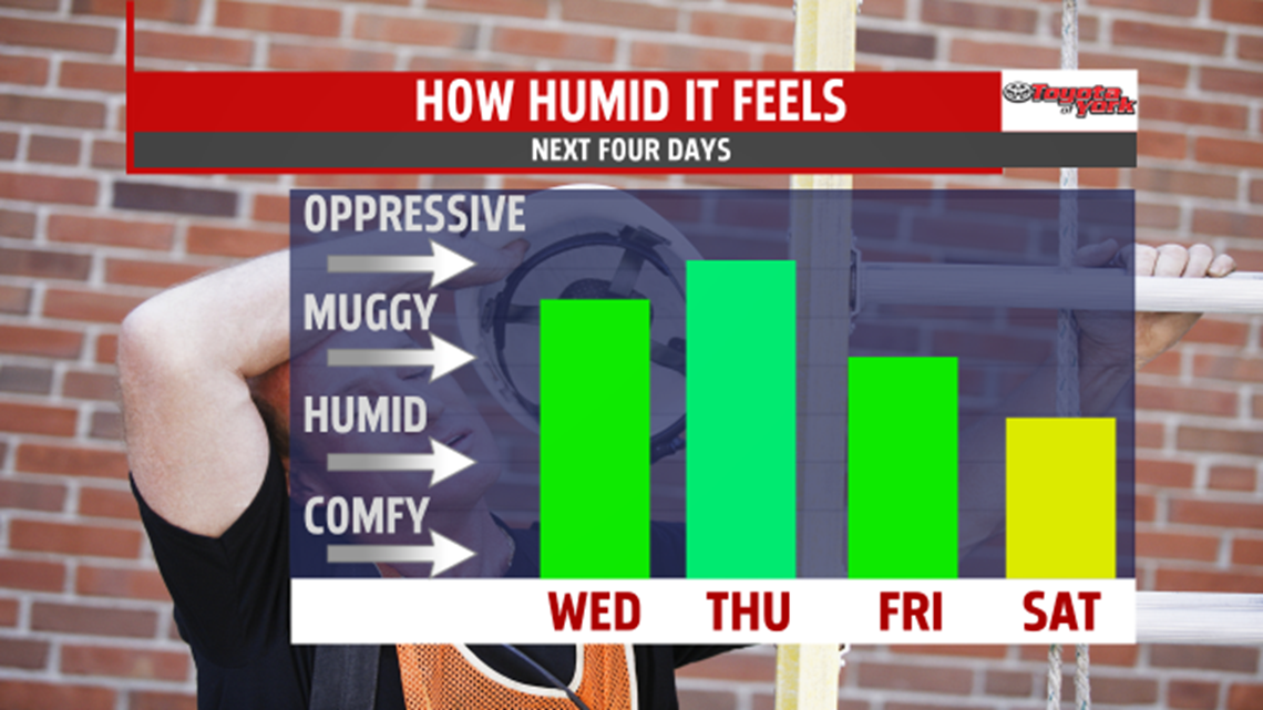
Stay with FOX43 Weather for updated changes to the forecast through the rest of the week!
Have a good day!
MaryEllen Pann,
Chief Meteorologist
