

MUGGIES AND WARMER TEMPS RETURN:
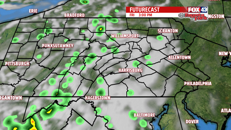
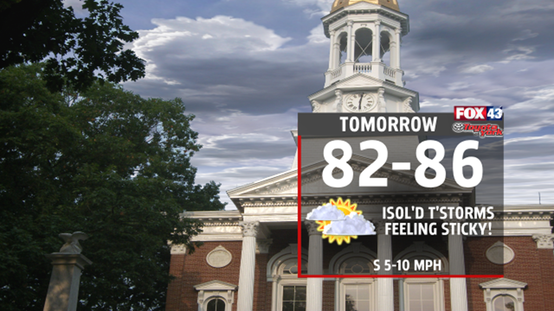
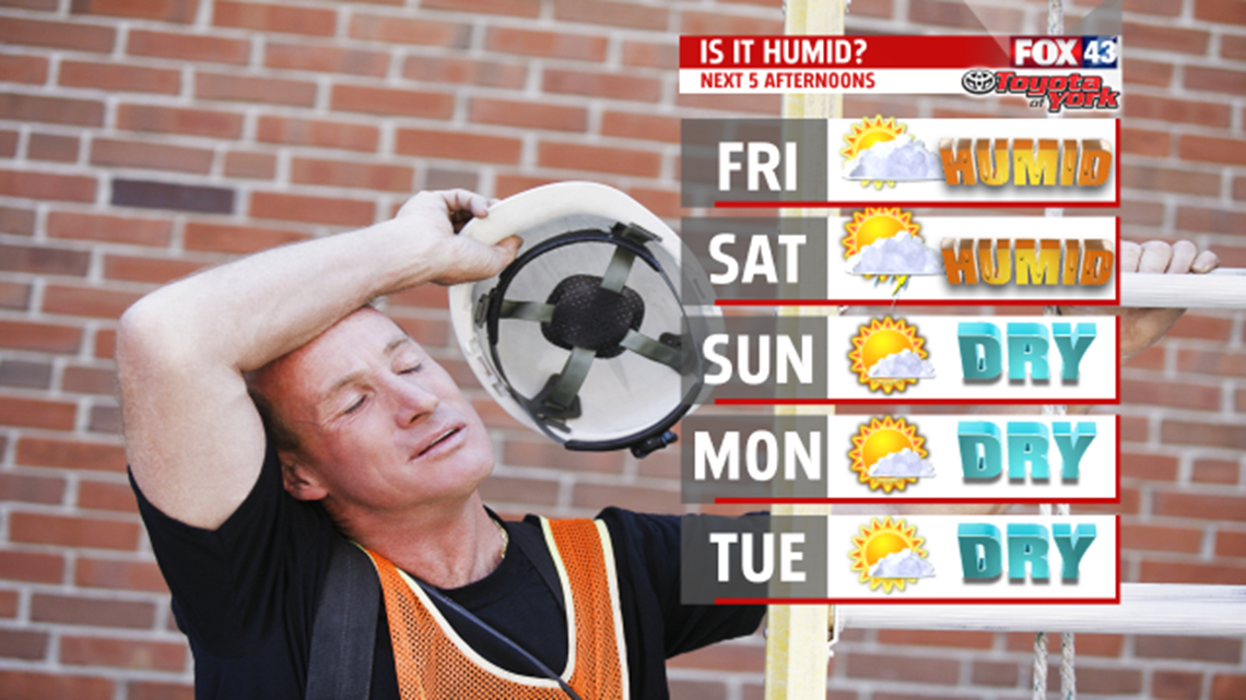
Clouds build during the day Friday and you’ll notice the sticky air returns too. Dew points rise to the upper 60s to lower 70s as winds shift to the south pulling in more moisture. Temperatures are slow to warm with more clouds around but still expected to climb into the middle 80s. Late day shower or thunderstorm possible but most of the area stays dry.

WEEKEND OUTLOOK:
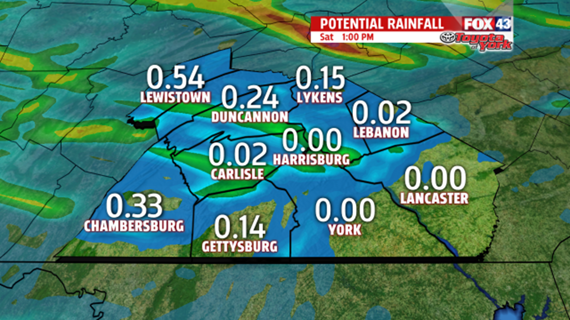
With the increased heat and humidity, and an approaching cold front, there is a greater threat for showers and thunderstorms. While scattered, not everyone will pick up rainfall and some areas are running abnormally dry. As of 1pm Saturday, a tenth of an inch of rain up to a half-inch of rain is possible. As the front pushes east, we’ll see areas like York and Lancaster with a chance for light accumulations. Unseasonably dry air follows the front for Sunday. Dew points are in the 50s making it feel so much more comfortable. Plenty of sunshine allows temperatures to warm into the middle 80s.

NEXT WEEK:
Dry pattern continues for a few days and it remains comfy too. Temperatures run near seasonable averages in the lower and middle 80s. Wednesday, the heat and humidity begin to increase as the flow shifts to the south-southwest. Highs flirt with 90 for some. It’s sticky and steamy for Thursday with a possible late day thunderstorm. Highs are much warmer in the lower 90s.

Stay with FOX43 Weather for updated changes to the forecast through the rest of the week!
Have a good day!
MaryEllen Pann,
Chief Meteorologist
