FEELING THE HUMIDITY
After a comfortable start to the week, the humidity creeps back in. Winds shift to the south, pulling in more moisture across the area, as high pressure moves east. If you take your morning run or walk early, it is still comfortable. Lows are not as cool in the upper 50s and lower 60s.


Still plenty of sunshine to enjoy, however, during the afternoon a few more clouds drift in. High temperatures bump up to the middle 80s. Thunderstorm chances return Thursday although it is a small threat and not until late in the day towards evening. Expect a very warm and much more humid day with many areas pushing the upper 80s. A cold front fizzles out over the state on Friday and may trigger a stray shower or thunderstorm. However, most of the day is dry with hotter temperatures. Highs will climb to the lower 90s. Still plenty of sunshine to end the week, but the muggy feel is still with us.

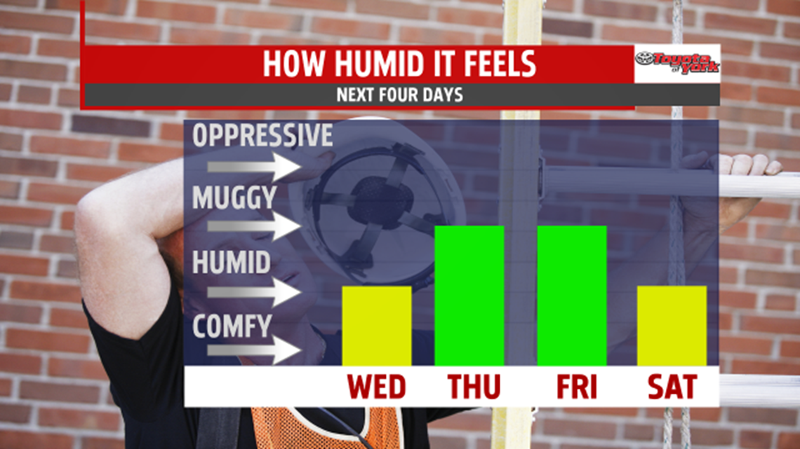
A rain free, muggy, warm weekend is ahead. High temperatures are still running above average in the middle to upper 80s Saturday under mostly sunny skies. Few more clouds mix in and out of the sunshine for Sunday and highs flirt with 90 degrees.
STORMS TO BEGIN WEEK
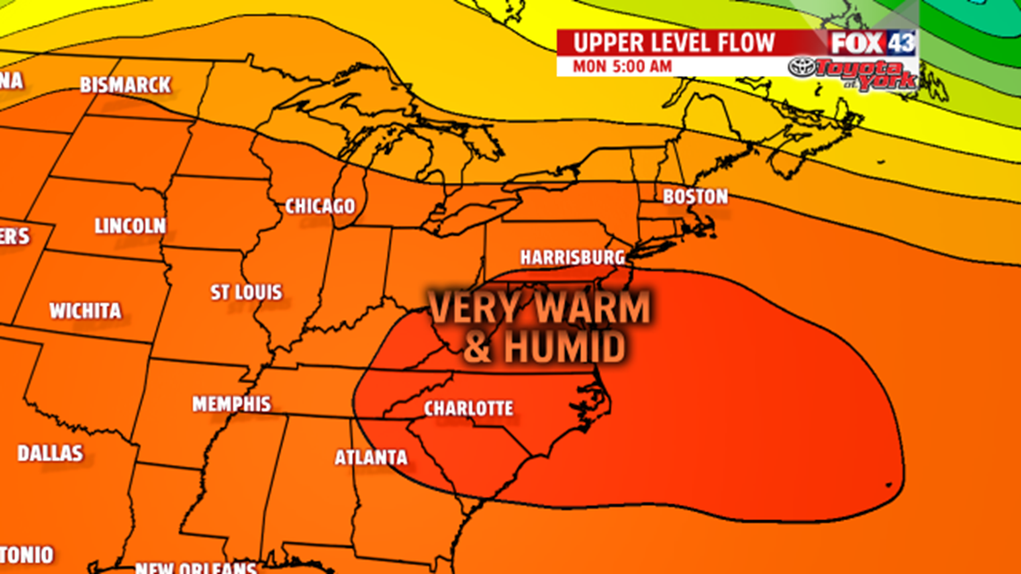
Showers and thunderstorms return Monday and even Tuesday. It is hot and humid too with highs in the middle and upper 80s.

Stay with FOX43 Weather for updated changes to the forecast through the rest of the week!
Have a good day!
MaryEllen Pann,
Chief Meteorologist