


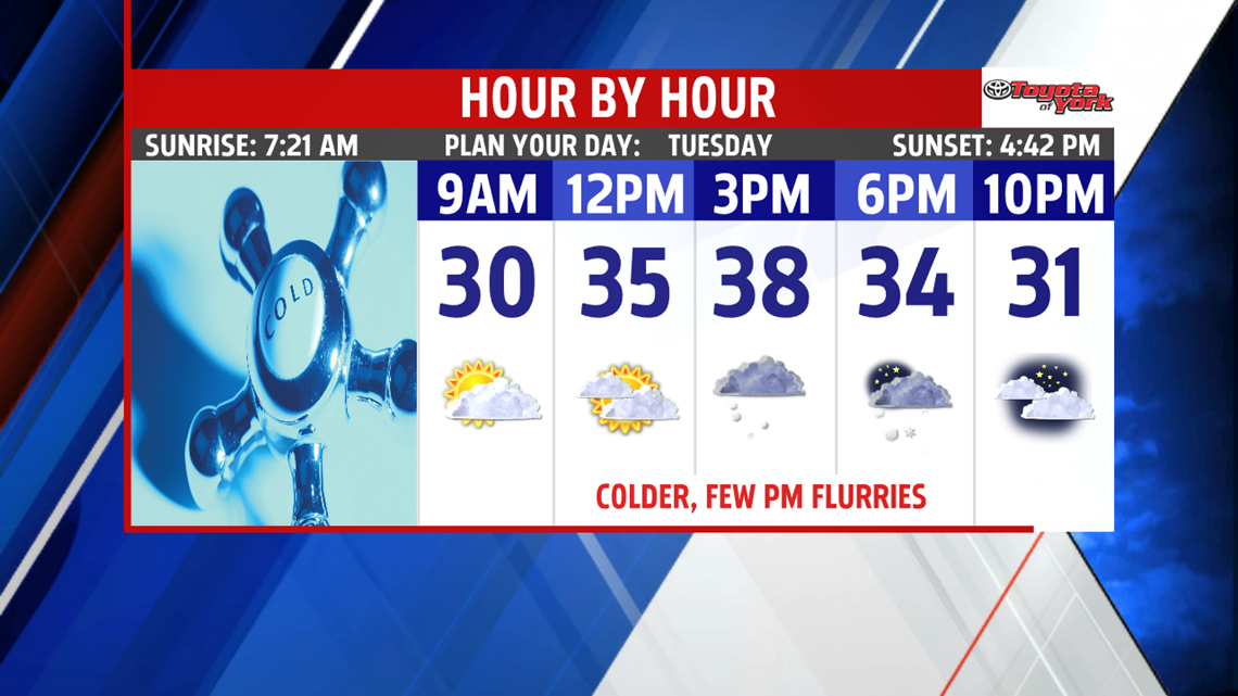

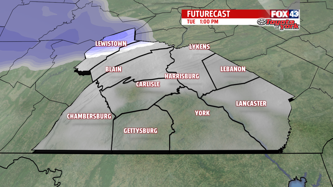
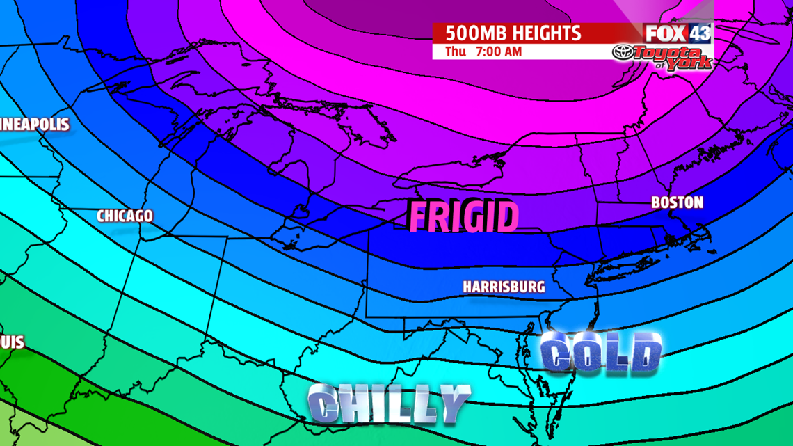
QUIET THROUGH MIDWEEK: Temperatures Tuesday morning are colder to start, with readings in the middle to upper 20s. After some limited sun to start on Tuesday, expect clouds to thicken quickly ahead of the next system. It could bring a few flurries or perhaps a snow shower late toward the evening, but nothing of concern. Temperatures are in the middle to upper 30s. There’s some clearing late tonight, and it’s enough to drop lows into the lower to middle 20s. A more potent wave pushes through Wednesday. Plenty of clouds are expected after brief morning sunshine. Temperatures are in the lower to middle 30s, but in the wake of Wednesday’s system is a more potent blast of Arctic air!


WEEKEND SYSTEM: We’ll keep an eye on this next system for another wintry mess. Temperatures slowly rise through the weekend, so as our next system crosses through late Friday night into Saturday, the potential is there for another mixed bag of precipitation. With cold air well established, we could see some accumulating snow before the transition to a wintry mix/rain through Saturday afternoon. It’s still way too early to iron out exact details, and much can still change, so check back for updates! A few rain and snow showers are possible Sunday before skies are dry again Monday. After a mild Sunday with readings in the 40s, temperatures are knocked back down to cold readings in the 30s.
Have a great Tuesday!
