


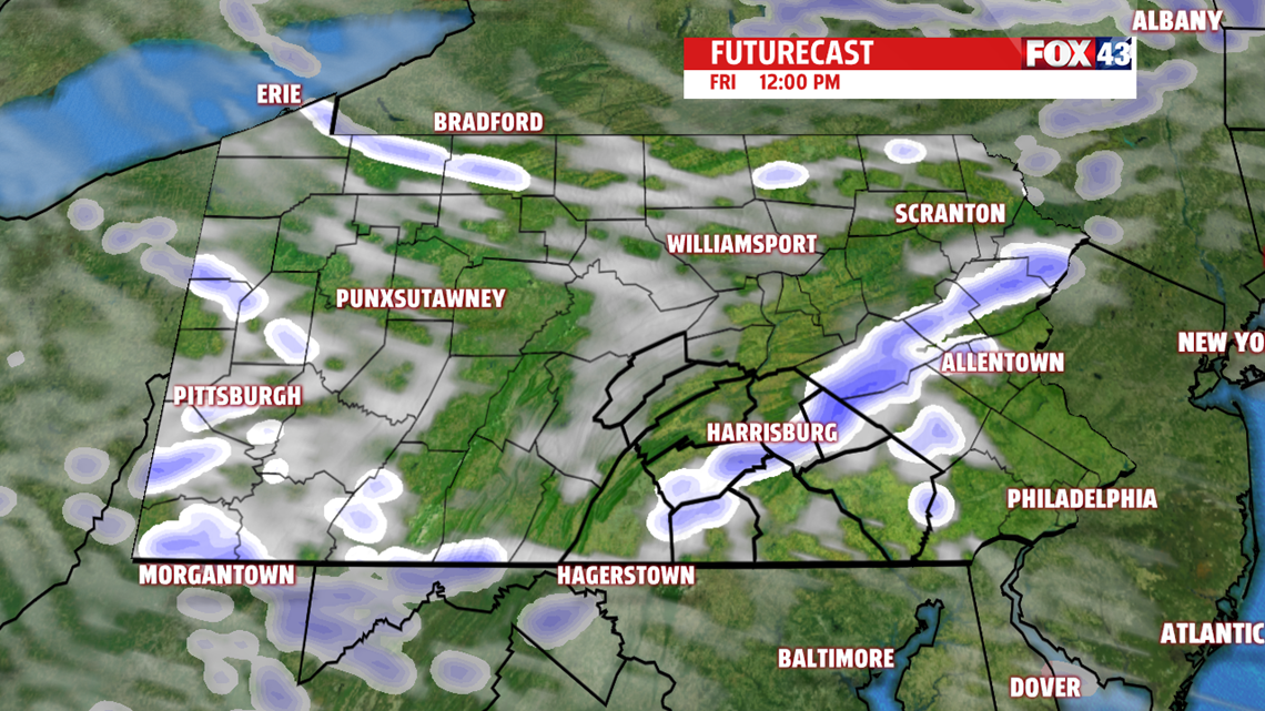
WEEKEND OUTLOOK: Friday is a bit colder, and another wave passes through the region. It could touch off a few snow showers. Even a quick snow squall is possible. Temperatures are in the middle 30s to near 40 degrees. Snow accumulations, if any, are less than half of an inch. A gradual warming trend is expected for the weekend as a warm front approaches. Saturday brings a mixture of clouds and sunshine, with still a chill in the air. Temperatures are near 40 degrees. There’s plenty of clouds Sunday, and perhaps a stray sprinkle. Temperatures are in the lower to middle 40s.
NEXT WEEK: Monday is warmer, with temperatures jumping into the 50s. Our next system could bring a late day shower, with another cold front arriving Tuesday. Expect readings in the 60s ahead of the front. We’ll also watch for shower chances on Tuesday, perhaps into Wednesday. Temperatures drop a touch Wednesday, with readings near 60 degrees.
Have a great Thursday!
