


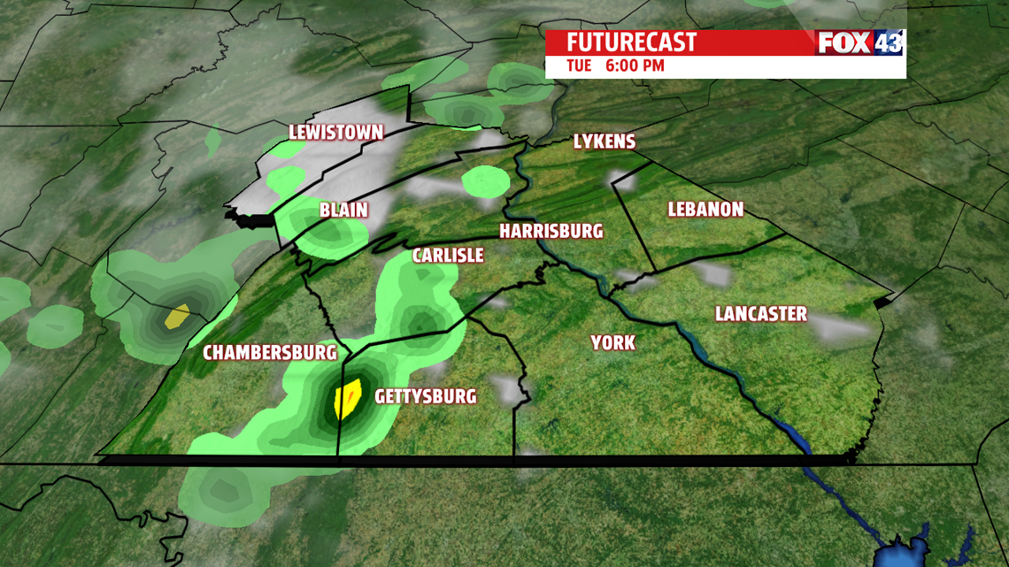

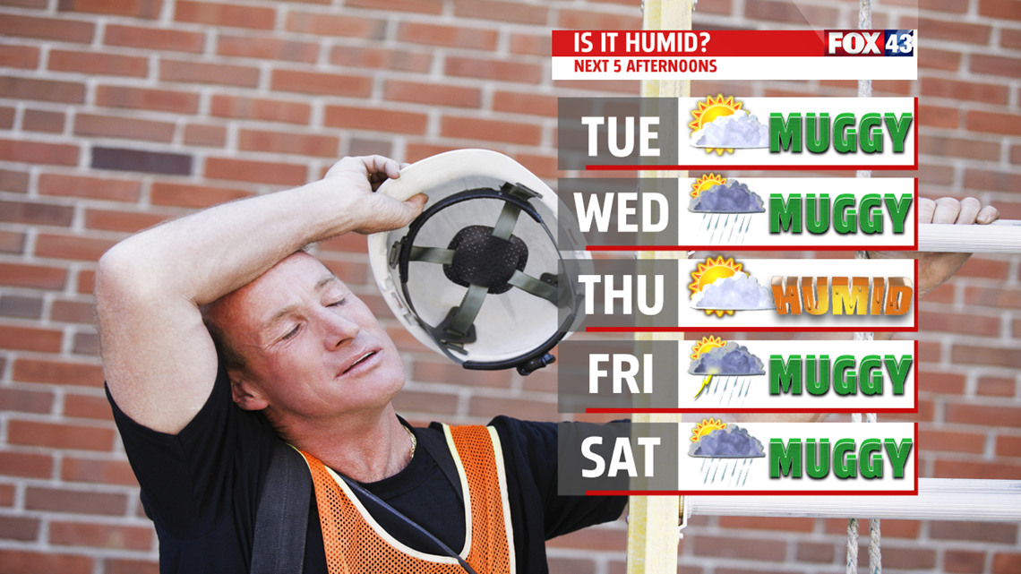
NOT AS HOT WITH T-STORMS: The patter breaks down for the middle of the week as backdoor cold front tries to slip through. Most should fall out of the 90s, but as it crosses through, isolated afternoon showers and thunderstorms are likely on Wednesday. The humidity comes down a bit for Thursday once it gets through the area. After an early morning shower or thunderstorm, the afternoon looks much drier. Temperatures are in the lower 80s. A few afternoon thunderstorms are possible Thursday night into Friday as the front reemerges north. The humidity is back, with readings in the lower 80s again.
WEEKEND OUTLOOK: Models are indicating warming returns for the weekend. Temperatures flirt with the 90 degree mark both Saturday and Sunday, depending on shower and thunderstorm chances. The coverage looks isolated for now, but more widespread activity could keep readings for most in the 80s. Either way, expect above average warmth in addition to uncomfortable humidity levels. A cold front crosses through late Sunday and through early Monday, so a few showers and thunderstorms could linger. Expect more sunshine for the afternoon. Temperatures reach the lower to middle 80s.
Have a great Tuesday!
