

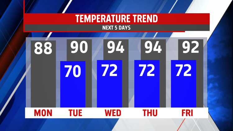


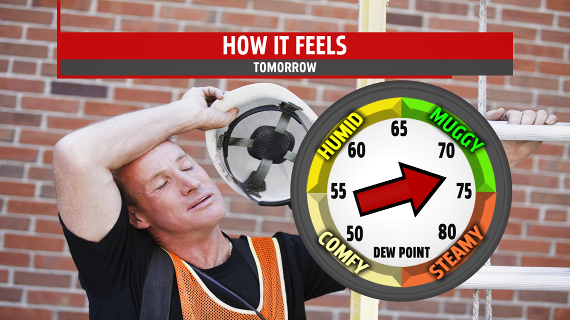

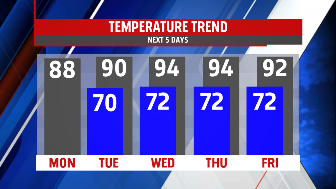
HAZY, HOT, AND HUMID: A hazy, hot, and humid stretch is anticipated for the middle of the week. A strong ridge of high pressure pumps in the heat, and it’s enough to boost temperatures in the lower to middle 90s both Wednesday and Thursday, though Thursday should be the slightly hotter day of the two. Humidity levels feel steamy, and this makes heat indices feel like the middle to upper 90s both days. A stray thunderstorm is possible Wednesday, but most stay dry. A better chance for thunderstorms arrives later Thursday afternoon as the next cold front approaches. There’s the chance for strong to even severe thunderstorms. Temperatures come down a bit as the front clears the area on Friday, but it takes another day to break the 90s for most. Temperatures reach the upper 80s to lower 90s.
WEEKEND OUTLOOK: After a brief break from the heat, it resurges. Friday’s front begins to reemerge as a warm front, bringing the chance for afternoon showers and thunderstorms. Temperatures are in the middle 80s. It continues to lift north Sunday, bringing a return to the high heat. Readings are in the upper 80s to lower 90s. A few thunderstorms are possible before it clears the region to the north.
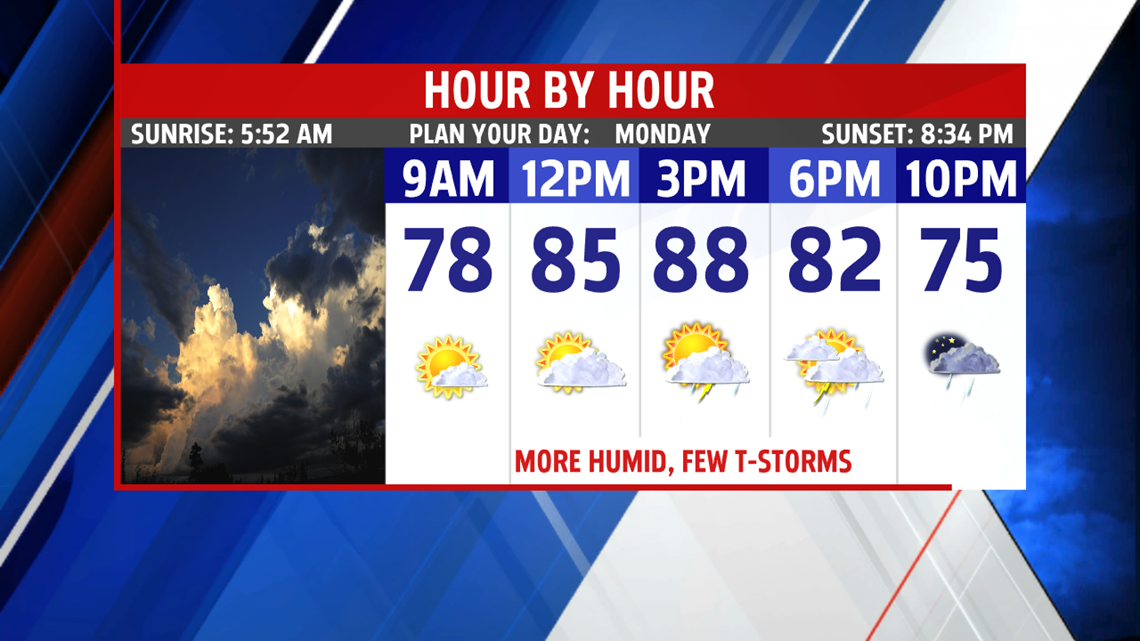
Have a great Monday!
