


In Pennsylvania one usually associates snow, ice, and biting cold with winter. But sometimes nature throws a curve at us with unseasonable warmth, and with it, rain.
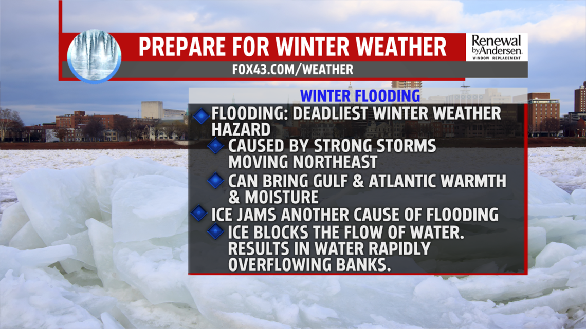
A number of different factors work together to produce floods in winter.
When unseasonable warmth comes to the region it will often melt much, if not all of the snow on the ground in the lower elevations.
The melting snow will saturate the ground and also begin to swell the rivers.
Often the warmer air will rise over colder air trapped in the region. As this air rises it results in clouds and rain, which will combine with the melting snow to increase flows in the rivers. When this melting snow combines with heavy rains it can put enough water into the rivers to send them over their banks.
Some of our worst winter floods are caused by intense cyclones that track from the Ohio valley northeast up the Saint Lawrence Valley into Canada. These storms bring a lot of warm and moist air into the region from the Gulf of Mexico and the Atlantic, bringing both mild temperatures and heavy rain to the region.

In January 1996, unseasonably warm air and heavy rain combined to melt a deep snowpack in Pennsylvania. The combination of melting snow and heavy rain led to the worst flooding in Pennsylvania since hurricane Agnes in 1972.
Another winter problem is flooding caused by ice jams on the rivers.
As river flows increase, water levels rise. Since ice that covers the rivers is lighter than water it will tend to float. Under the pressure it will often break into huge slabs. These slabs will then move downstream in the current until they run into an obstruction such as a bend, island, or wide shallow area. When this happens the ice will often stop and pile up into a jam. When the flow of the river is blocked by an ice jam, the water can overflow the river banks in less than an hour as it tries to get around the ice. As the water rises, the pressure can break the jam and release a sudden surge of water and ice down the river.
While ice jams often form in the same spots year after year it is nearly impossible to predict exactly when or where a jam will form, or when one will break. Sometimes a jam that forms in early winter will stay put most of the winter.
Severe flooding of roads and built up areas can also occur when mounds of plowed snow and ice block and plug up the grates and storm drains, so the water from the pavement has nowhere to go. This standing water can cause dangerous black ice if it freezes.
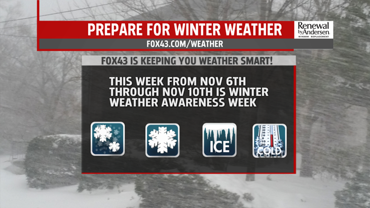
The FOX43 Weather Smart Team will keep you updated during the months ahead! You can also find more winter weather information at the State College NWS website.
