


and upper 40s. More sunshine expected Tuesday, as high pressure helps to clear skies. Readings are still below average in the upper 40s to near 50 degrees. Winds shift Wednesday ahead of our next frontal system. This bumps temperatures up into the lower 50s. Clouds increase but the day is dry. A few overnight sprinkles or a brief shower with the front is possible. Overnight lows are in the upper 30s. It’s a breezy Thursday with highs hovering around 50 degrees. Big changes head our way with a potent system approaching Friday. Clouds increase through the day and a few showers are possible by afternoon and evening. Highs are held in the 40s. The main system comes through over the weekend.
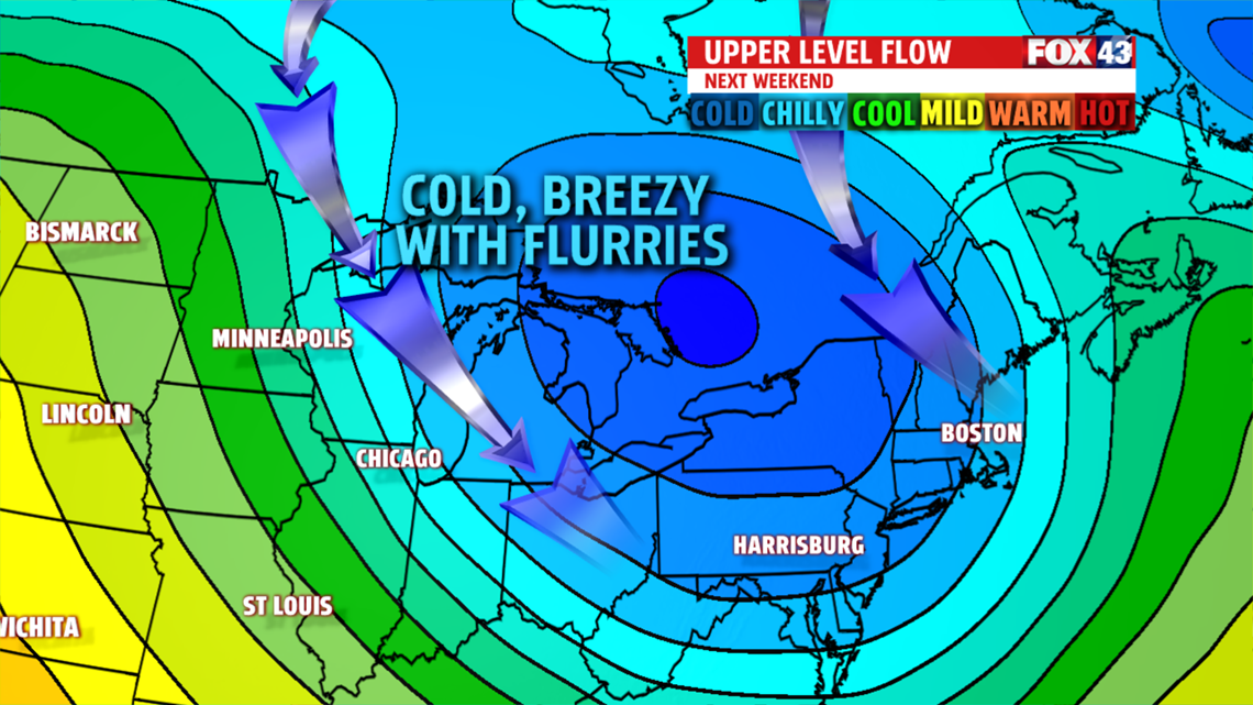
WEEKEND OUTLOOK
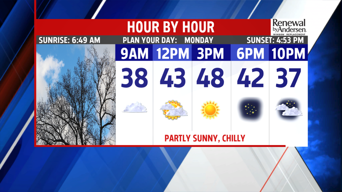
Saturday starts mild with a boost in temperatures to near 50 degrees. Keep the umbrella handy for showers. Potent front is east by late evening. Much colder air rushes in overnight into Sunday. Flurries or light snow showers possible with strong, gusty northwest winds all day. Readings are stuck in the upper 30s and lower 40s. This brisk feel continues into Monday with sunny skies.