


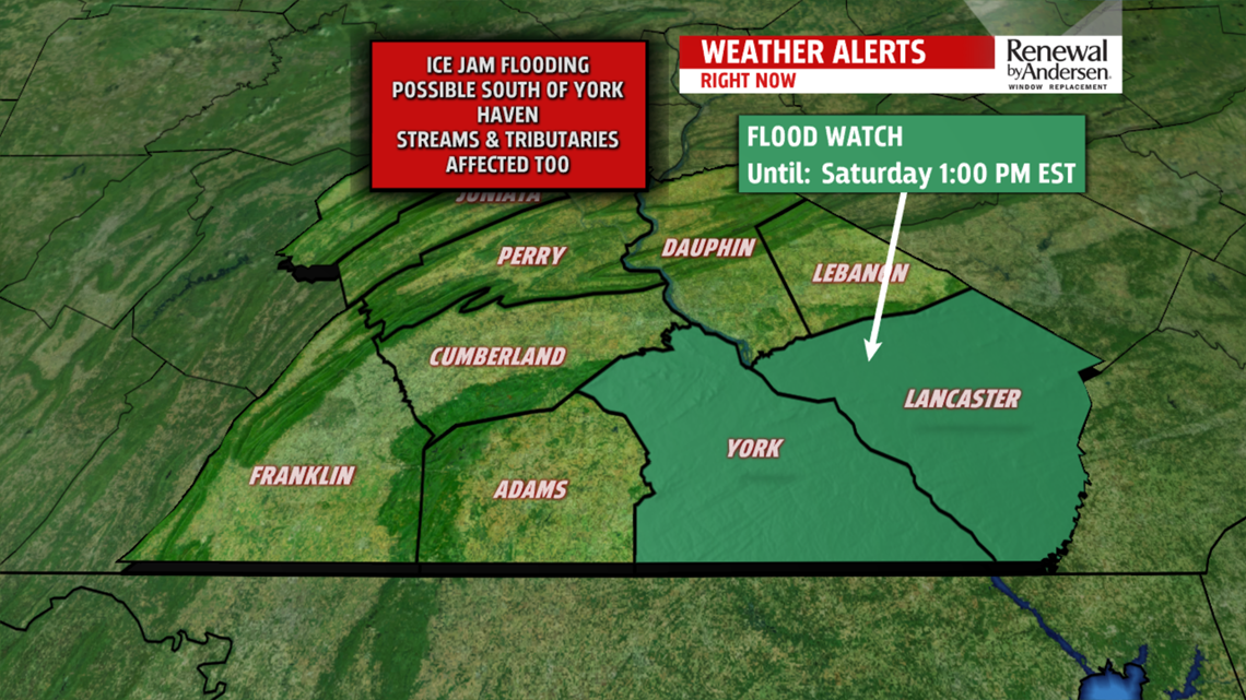
A FLOOD WATCH is in effect until 1PM Saturday for York and Lancaster counties on the Susquehanna due to forecasted ice jamming south of York Haven. The Susquehanna River at Marietta has entered action stage and will be prone to flooding on the riverbanks.

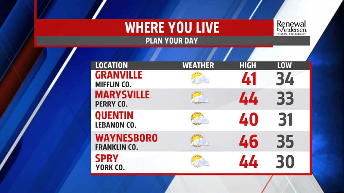
TEMPERATURES CLIMB: We’re warmer to end the work week. Highs make it into the low-40s by the early afternoon with a lot of sunshine. Skies are mostly sunny throughout the day with light west-northwesterly winds at 5-10MPH.

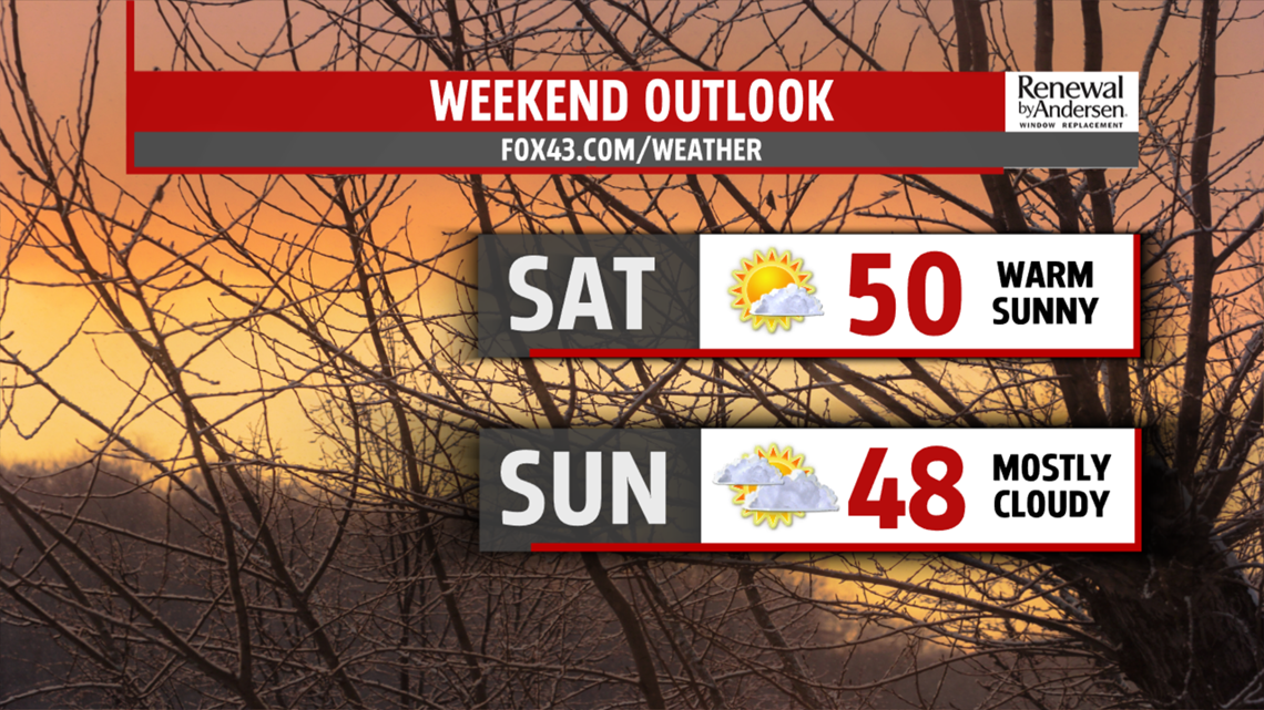
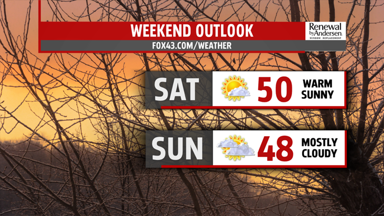
SUNNY WEEKEND: Temperatures continue to climb heading into the weekend. We’re near the 50-degree mark with mostly sunny skies for Saturday and a morning low in the mid-20s. Clouds move in ahead of our next rainmaker, but highs still try to push 50 with mostly cloudy skies.
RAIN MOVES IN: Temperatures are mild again for Monday, but they come with rain chances. A few showers are likely by the afternoon and will hang around throughout the evening. Rain continues off-and-on into Tuesday morning before temperatures start to drop. We’re back down into the upper-30s and low-40s near the end of the Weather Smart Forecast.
Have a great day!
-Meteorologist Bradon Long
