


TEMPERATURE ROLLAR COASTER CONTINUES
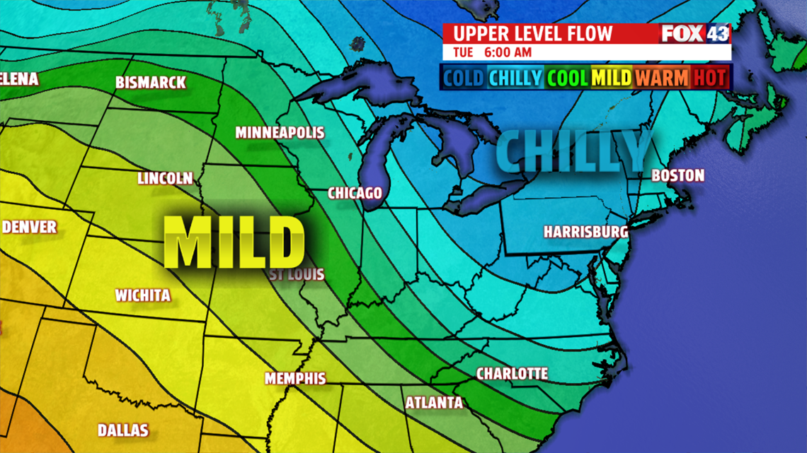
Colder air begins to spill in Monday. Skies are mostly cloudy keeping temperatures in the lower 40s. The coldest air holds off until Tuesday. A potent wave brings light snow flurries or snow showers Monday night into Tuesday morning, and is followed by a burst of frigid air. Readings don’t budge from the lower 30s. Most Tuesday is dry under partly cloudy skies. Brisk winds add a sting to the skin too. Warm front pushes north through the day Wednesday but it’s still a very cold morning in the teens. Temperatures are slow to recover and remain in the 30s. It’s milder Thursday with more sunshine. Clouds arrive late along with a few showers. As a cold front swings through, showers continue, mixing and changing over briefly to snow, before ending Friday. Highs still make the lower 40s before colder air arrives for the weekend. It is groundhog day too. It doesn’t look like he’ll see his shadow!

The FOX43 Weather Team is keeping you “Weather Smart” all week long!
Have a good day!
MaryEllen Pann,
Chief Meteorologist
