
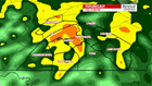
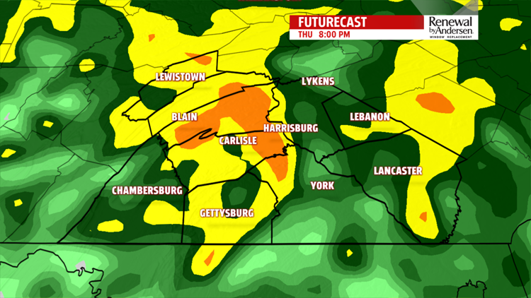
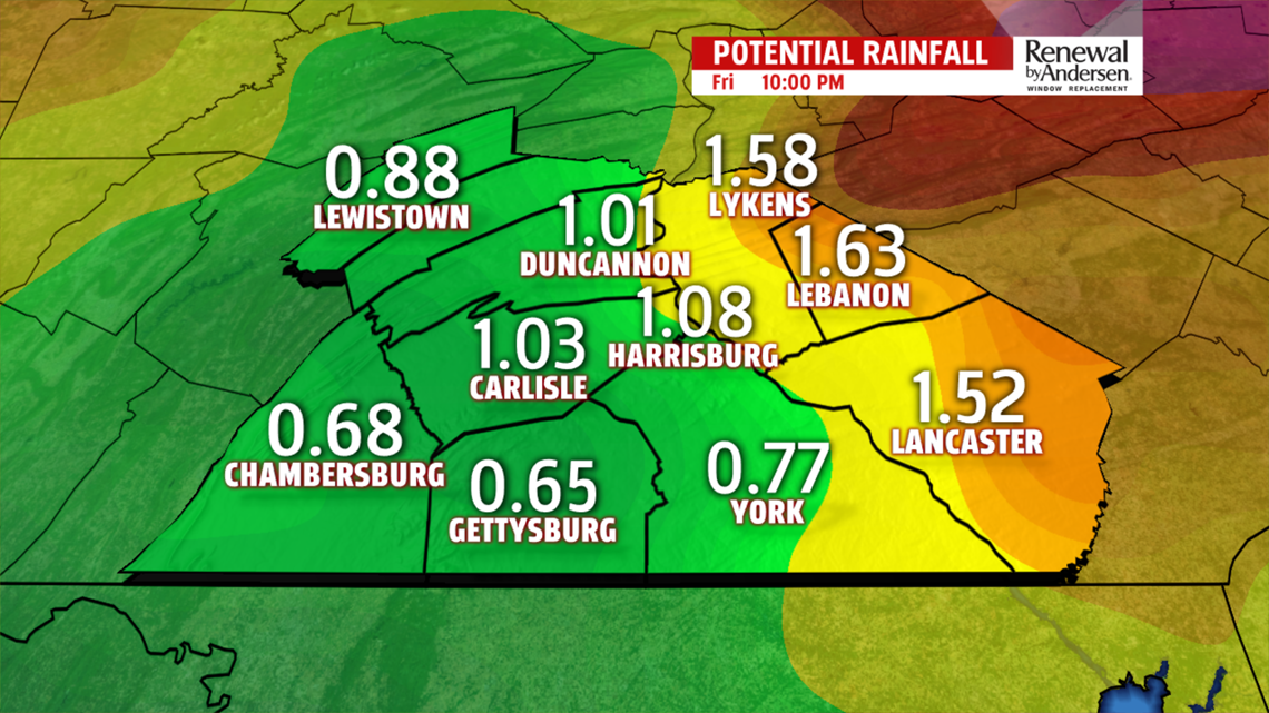
RAIN CHANCES RETURN

WEEKEND OUTLOOK

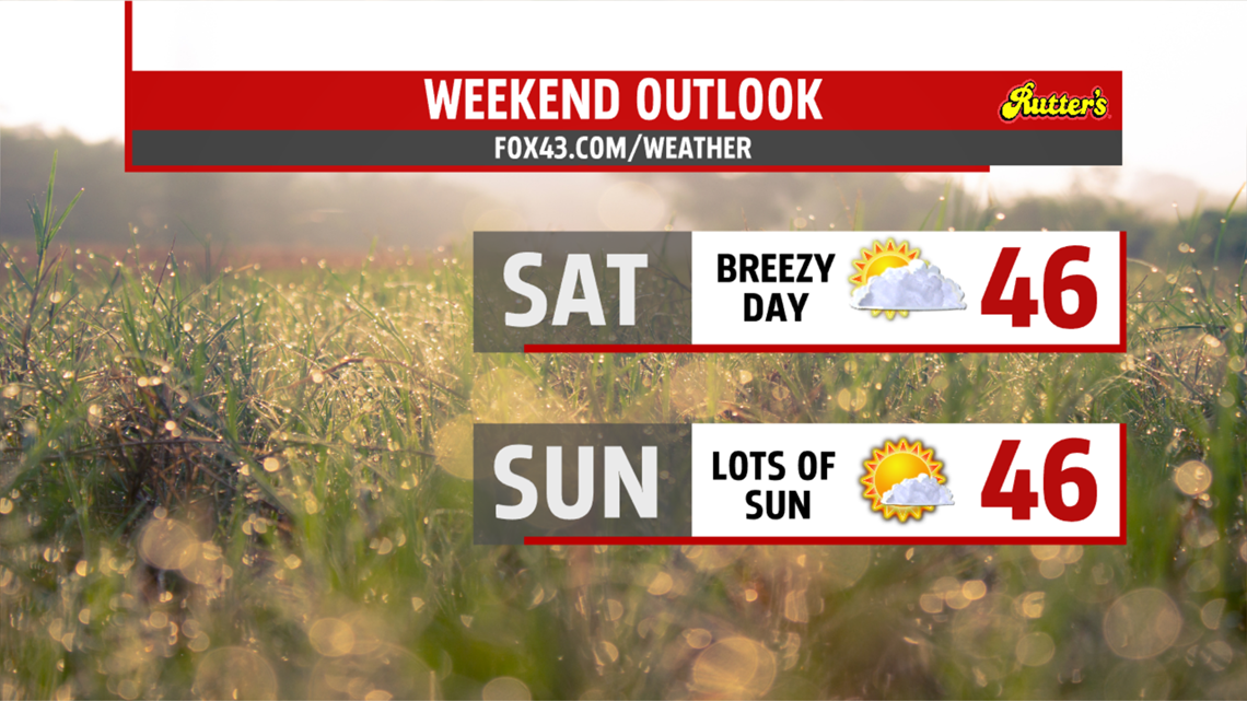
Plenty of clouds are around for the start of the weekend. Skies are brighter late in the day Saturday as high pressure builds in across the area. Winds are still breezy and even gusty at times. They die down heading into the evening. Temperatures remain close to or above average in the middle 40s. Sunday is mostly sunny and much calmer. Readings reach the middle 40s again.
TASTE OF WINTER NEXT WEEK
Still seeing quite a bit of sunshine Monday, and it’s a tad milder near 50 degrees. The next system swings in Tuesday bringing a threat for rain showers. Temperatures are in the middle to upper 40s. Colder air wrapping in behind the system brings the threat for wet snow to mix in overnight. Light snow flurries or brief light snow showers are possible for the morning commute Wednesday. The rest of the day is breezy and chilly with highs in the lower 40s.
The FOX43 Weather Team is keeping you “Weather Smart” all week long!
Have a good day!
MaryEllen Pann,
Chief Meteorologist
